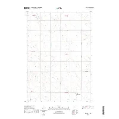
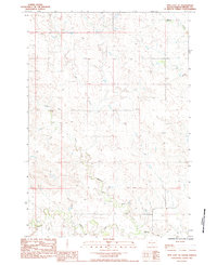
2017 Map of Opal East SE
USGS Topo · Published 2017About this map
Sulphur Cr and Beaver Dam Cr define the hydrological character of this Meade County landscape, where various tributaries converge within a wide prairie basin. The network of seasonal watercourses, including E Br Beaver Dam Cr and Middle Cr, underscores the importance of drainage in this ranching country. The local road system, while sparse, follows established section lines and natural contours, with named routes like Grapevine Rd and Marcus Rd providing the primary connectivity between remote land holdings.
Find a feature on this map
19 named features on this map. Tap any name to fly to it.
Don’t see what you’re looking for? This feature index may not catch every label — zoom into the map to look around manually.
Map Details
Editions of this 2017 Opal East SE Map
This is the sole edition of this map. No revisions or reprints were ever made.
Other maps of this area

1953 · Rapid City
USGS Topo · 1:250,000

1957 · Rapid City
USGS Topo · 1:250,000
1983 · Whiteman Owl NW
USGS Topo · 1:24,000
1983 · Lemmon Butte
USGS Topo · 1:24,000
1983 · Avance
USGS Topo · 1:24,000
1983 · Opal East
USGS Topo · 1:24,000
1983 · Opal East SW
USGS Topo · 1:24,000
1983 · Reed Dam
USGS Topo · 1:24,000
1983 · Marcus
USGS Topo · 1:24,000
1983 · Opal East SE
USGS Topo · 1:24,000