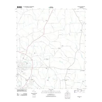
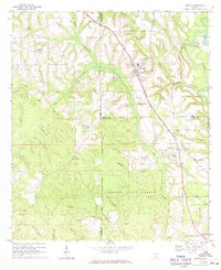
2011 Map of Opp East
USGS Topo · Published 2011About this map
The city of Opp serves as the focal point for this survey of eastern Covington County, showing the intersection of County Hwy 91 and County Hwy 22. The landscape is defined by the branching tributaries of Cripple Creek and Hays Creek, which supported local development through impoundments like the Opp Fishing Club Dam. Small, dispersed settlements such as Brooklyn, Alberton, and Basin dot the map, each maintaining deep roots evidenced by local burying grounds like Brooklyn Cemetery and Alberton Cemetery. A prominent County Line bisects the terrain, while the rural economy is reflected in features such as the Perry Store and several private lake dams, including the Joe B Johnson Dam and Mallory Lake Dam, which have altered the natural flow of the regional hydrology.
Find a feature on this map
103 named features on this map. Tap any name to fly to it.
Don’t see what you’re looking for? This feature index may not catch every label — zoom into the map to look around manually.
Map Details
Editions of this 2011 Opp East Map
This is the sole edition of this map. No revisions or reprints were ever made.
Other maps of this area

1953 · Andalusia
USGS Topo · 1:250,000

1957 · Andalusia
USGS Topo · 1:250,000

1968 · Danleys Crossroads
USGS Topo · 1:24,000
1968 · Ino
USGS Topo · 1:24,000
1968 · Sellersville
USGS Topo · 1:24,000

1968 · Opp East
USGS Topo · 1:24,000
1968 · Elba
USGS Topo · 1:24,000
1969 · Kinston
USGS Topo · 1:24,000

1971 · Dozier
USGS Topo · 1:24,000

1971 · Onycha
USGS Topo · 1:24,000