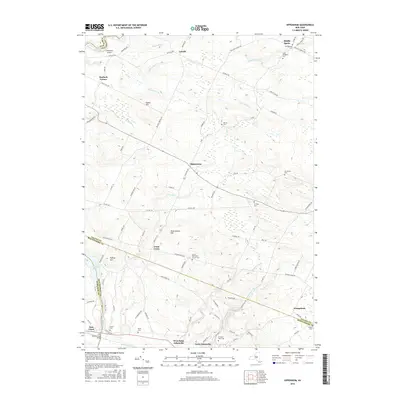
2016 Map of Oppenheim
USGS Topo · Published 2016About this map
The boundary between Fulton, Montgomery, and Herkimer Counties defines the social and topographical landscape of this region in the Mohawk Valley vicinity. Small crossroads settlements like Oppenheim and Lotville serve as anchors for a network of country roads, including State Rte 331 and Lotville Rd. The area is notably dense with burial grounds, ranging from family plots like the Brown Cem and Klock Cem to the larger Saint Bridgett's Cem near Middle Sprite, reflecting generations of rural habitation.
Find a feature on this map
91 named features on this map. Tap any name to fly to it.
Don’t see what you’re looking for? This feature index may not catch every label — zoom into the map to look around manually.
Map Details
Editions of this 2016 Oppenheim Map
This is the sole edition of this map. No revisions or reprints were ever made.
Other maps of this area
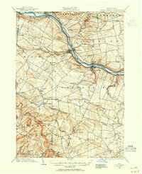
1898 · Canajoharie
USGS Topo · 1:62,500
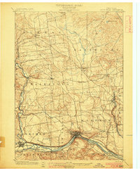
1900 · Little Falls
USGS Topo · 1:62,500
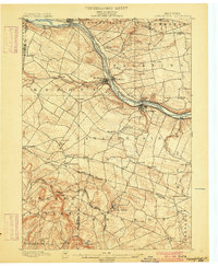
1900 · Canajoharie
USGS Topo · 1:62,500
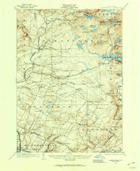
1901 · Lassellsville
USGS Topo · 1:62,500
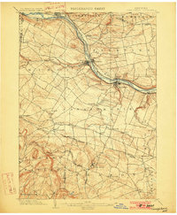
1902 · Canajoharie
USGS Topo · 1:62,500
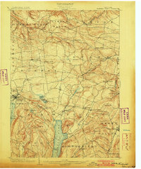
1903 · Richfield Springs
USGS Topo · 1:62,500
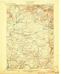
1903 · Lassellsville
USGS Topo · 1:62,500
1903 · Little Falls
USGS Topo · 1:62,500
1939 · Little Falls
USGS Topo · 1:62,500
1943 · Little Falls
USGS Topo · 1:24,000