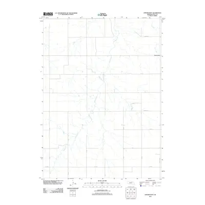
2011 Map of Opportunity
USGS Topo · Published 2011About this map
Opportunity sits at the edge of this Holt County landscape, defined by the winding course of Redbird Creek and its various tributaries. The terrain is characterized by a sprawling network of section-line roads, including 875th Rd and Township Rd, which reflect the structured agricultural grid of rural Nebraska. In the northeastern corner, Spring Creek flows through the open country near the settlement. The presence of Power Line Rd indicates the integration of utility infrastructure into this remote prairie region. This survey captures a moment in the early 21st century where the traditional land divisions of the Great Plains remain the primary organizational feature of the landscape.
Find a feature on this map
15 named features on this map. Tap any name to fly to it.
Don’t see what you’re looking for? This feature index may not catch every label — zoom into the map to look around manually.
Map Details
Editions of this 2011 Opportunity Map
This is the sole edition of this map. No revisions or reprints were ever made.
Other maps of this area

1950 · Dorsey NW
USGS Topo · 1:24,000

1954 · Dorsey SW
USGS Topo · 1:24,000

1954 · Meek NE
USGS Topo · 1:24,000

1954 · Opportunity
USGS Topo · 1:24,000

1954 · Meek SW
USGS Topo · 1:24,000

1954 · Meek
USGS Topo · 1:24,000

1955 · O'Neill
USGS Topo · 1:250,000

1958 · O'Neill
USGS Topo · 1:24,000

1958 · Inman
USGS Topo · 1:24,000

1958 · Page
USGS Topo · 1:24,000