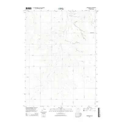
2014 Map of Opportunity
USGS Topo · Published 2014About this map
Opportunity stands as the primary namesake settlement in this section of Holt County, situated on the eastern edge of the quadrangle. The landscape is defined by the dendritic drainage patterns of Redbird Cr and Spring Cr, which carve through the Nebraska plains. The map reveals a strictly regulated section-line road network, composed of numerical routes such as 495th Ave and 881st Rd, reflecting the late-era systematic organization of agricultural lands. This survey provides a clear view of rural development in the early 21st century, where large tracts of land are accessed by a combination of public thoroughfares and a noted Pri Rd. The terrain is characterized by subtle elevation changes that guide the winding paths of the local creeks, which remain the most prominent natural landmarks in this otherwise open prairie environment.
Find a feature on this map
20 named features on this map. Tap any name to fly to it.
Don’t see what you’re looking for? This feature index may not catch every label — zoom into the map to look around manually.
Map Details
Editions of this 2014 Opportunity Map
This is the sole edition of this map. No revisions or reprints were ever made.
Other maps of this area
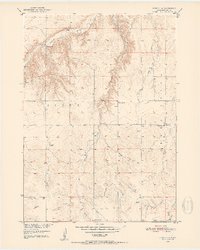
1950 · Dorsey NW
USGS Topo · 1:24,000
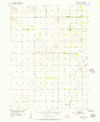
1954 · Dorsey SW
USGS Topo · 1:24,000
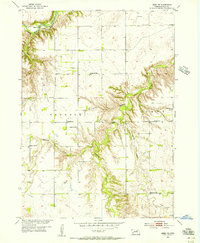
1954 · Meek NE
USGS Topo · 1:24,000
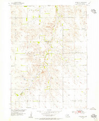
1954 · Opportunity
USGS Topo · 1:24,000
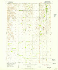
1954 · Meek SW
USGS Topo · 1:24,000
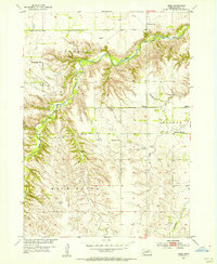
1954 · Meek
USGS Topo · 1:24,000
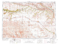
1955 · O'Neill
USGS Topo · 1:250,000
1958 · O'Neill
USGS Topo · 1:24,000
1958 · Inman
USGS Topo · 1:24,000
1958 · Page
USGS Topo · 1:24,000