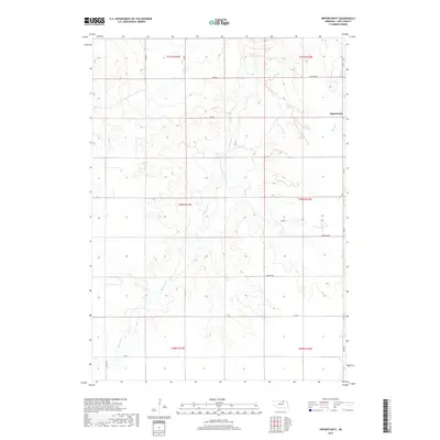
2017 Map of Opportunity
USGS Topo · Published 2017About this map
Opportunity serves as a central point of reference in this section of Holt County, where the landscape is defined by the winding drainages of the Redbird Cr and Spring Cr systems. The map illustrates a structured rural grid, dominated by various Township Rd segments and numbered routes like 882 Rd and 881 Rd that facilitate travel across the varying elevations. This 2017 survey reflects the persistent land divisions of the Public Land Survey System, showing the clear boundaries between townships such as t30n r11w and t31n r10w. The cartography details the intricate contours of the drainage basins, highlighting the subtle topography that governs the placement of roads and homesteads in this part of northern Nebraska.
Find a feature on this map
15 named features on this map. Tap any name to fly to it.
Don’t see what you’re looking for? This feature index may not catch every label — zoom into the map to look around manually.
Map Details
Editions of this 2017 Opportunity Map
This is the sole edition of this map. No revisions or reprints were ever made.
Other maps of this area
1950 · Dorsey NW
USGS Topo · 1:24,000
1954 · Dorsey SW
USGS Topo · 1:24,000
1954 · Meek NE
USGS Topo · 1:24,000
1954 · Opportunity
USGS Topo · 1:24,000
1954 · Meek SW
USGS Topo · 1:24,000
1954 · Meek
USGS Topo · 1:24,000
1955 · O'Neill
USGS Topo · 1:250,000
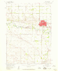
1958 · O'Neill
USGS Topo · 1:24,000
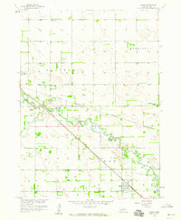
1958 · Inman
USGS Topo · 1:24,000
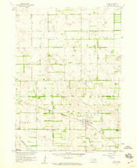
1958 · Page
USGS Topo · 1:24,000