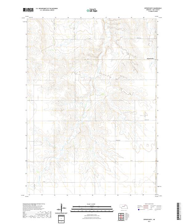
2021 Map of Opportunity
USGS Topo · Published 2021About this map
Opportunity sits at the northern edge of this high plains landscape, where the dendritic drainage patterns of Redbird Cr and Spring Cr carve through the Holt County terrain. This 2021 survey illustrates a highly structured rural environment defined by the Public Land Survey System, with township and range lines like t30n r11w and t31n r10w providing the primary framework for land ownership and movement. The road network follows this rigid grid, with routes such as 882 Rd and 872nd Rd navigating the divides between the creek basins. The landscape is primarily shaped by agriculture and hydrology, with little dense development beyond the namesake settlement. The persistence of these township roads reflects the long-standing rural economy of north-central Nebraska, where access to water sources like Redbird Cr remains vital to the local geography.
Find a feature on this map
15 named features on this map. Tap any name to fly to it.
Don’t see what you’re looking for? This feature index may not catch every label — zoom into the map to look around manually.
Map Details
Editions of this 2021 Opportunity Map
This is the sole edition of this map. No revisions or reprints were ever made.
Other maps of this area

1950 · Dorsey NW
USGS Topo · 1:24,000

1954 · Dorsey SW
USGS Topo · 1:24,000

1954 · Meek NE
USGS Topo · 1:24,000

1954 · Opportunity
USGS Topo · 1:24,000

1954 · Meek SW
USGS Topo · 1:24,000

1954 · Meek
USGS Topo · 1:24,000

1955 · O'Neill
USGS Topo · 1:250,000

1958 · O'Neill
USGS Topo · 1:24,000

1958 · Inman
USGS Topo · 1:24,000

1958 · Page
USGS Topo · 1:24,000