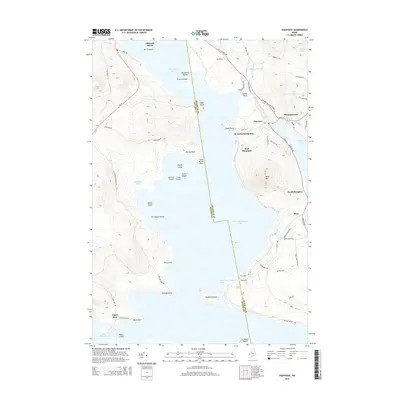
2014 Map of Oquossoc
USGS Topo · Published 2014About this map
Mooselookmeguntic Lake dominates the central landscape of this Maine survey, serving as a connector for the region's complex water system including Cupsuptic Lake, Rangeley Lake, and the winding Kennebago River. The settlement of Oquossoc stands at a critical junction of routes like Wilsons Mills Rd and Main St, reflecting its role as a hub for the seasonal and year-round communities of the Rangeley Lakes region. Further south, Upper Dam marks the threshold between Mooselookmeguntic Lake and Upper Richardson Lake, a site defined by its early industrial and recreational significance. The map details a labyrinth of seasonal roads and trails, such as Herbie Welch Trl and Old Skiway Rd, which navigate the terrain around Bald Mountain to reach remote points like Students Island and Toothaker Island. Local history is visible in the placement of small settlements such as Mountainview and Indian Rock, where early lakefront development took hold along the western shores of the Maine wilderness.
Find a feature on this map
78 named features on this map. Tap any name to fly to it.
Don’t see what you’re looking for? This feature index may not catch every label — zoom into the map to look around manually.
Map Details
Editions of this 2014 Oquossoc Map
This is the sole edition of this map. No revisions or reprints were ever made.
Other maps of this area

1931 · Cupsuptic
USGS Topo · 1:48,000

1932 · Kennebago Lake
USGS Topo · 1:48,000

1933 · Rangeley
USGS Topo · 1:48,000

1934 · Cupsuptic
USGS Topo · 1:62,500

1935 · Kennebago Lake
USGS Topo · 1:62,500

1935 · Cupsuptic
USGS Topo · 1:62,500

1936 · Kennebago Lake
USGS Topo · 1:62,500

1939 · Rangeley
USGS Topo · 1:62,500

1940 · Oquossoc
USGS Topo · 1:62,500

1942 · Oquossoc
USGS Topo · 1:62,500
Featured Places
- Rangeley, ME
- Rangeley Plantation, ME
- Adamstown Township, ME
- Upper Dam, Richardsontown Township
- Richardsontown Township, ME