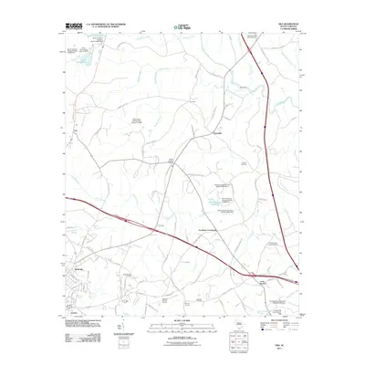
2011 Map of Ora
USGS Topo · Published 2011About this map
Wattsville and the northeastern fringes of Laurens anchor this landscape where residential growth meets the rural creek valleys of Upstate South Carolina. The area is defined by its water system, centered on the Enoree River and Enoree Creek to the east and the winding course of Duncan Creek through the center. Small historic hubs like Ora, Tylersville, and Goodwins Crossroads dot the map, connected by a network of rural roads such as Sandy Springs Rd and Granny Apple Rd.
Find a feature on this map
100 named features on this map. Tap any name to fly to it.
Don’t see what you’re looking for? This feature index may not catch every label — zoom into the map to look around manually.
Map Details
Editions of this 2011 Ora Map
This is the sole edition of this map. No revisions or reprints were ever made.
Other maps of this area

1892 · Abbeville
USGS Topo · 1:125,000

1941 · Spartanburg
USGS Topo · 1:250,000

1953 · Spartanburg
USGS Topo · 1:250,000

1954 · Greenville
USGS Topo · 1:250,000

1957 · Fountain Inn
USGS Topo · 1:62,500

1958 · Greenville
USGS Topo · 1:250,000

1960 · Spartanburg
USGS Topo · 1:250,000

1963 · Spartanburg
USGS Topo · 1:250,000

1964 · Spartanburg
USGS Topo · 1:250,000

1969 · Cross Anchor
USGS Topo · 1:24,000