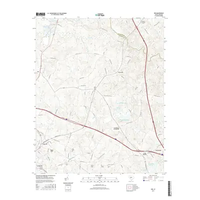
2017 Map of Ora
USGS Topo · Published 2017About this map
Ora and the surrounding Upstate countryside are defined by the winding course of the Enoree River and a network of rural crossroads in the late 2010s. This landscape is marked by historic community centers like Tylersville and Goodwins Crossroads, where generations of local families are recorded at Sandy Springs Cem and Langston Cem. The transition from rural agriculture to industrial and residential development is evident near Watts Mills and the outskirts of Clinton, where modern infrastructure intersects with older land patterns.
Find a feature on this map
102 named features on this map. Tap any name to fly to it.
Don’t see what you’re looking for? This feature index may not catch every label — zoom into the map to look around manually.
Map Details
Editions of this 2017 Ora Map
This is the sole edition of this map. No revisions or reprints were ever made.
Other maps of this area

1892 · Abbeville
USGS Topo · 1:125,000

1941 · Spartanburg
USGS Topo · 1:250,000

1953 · Spartanburg
USGS Topo · 1:250,000

1954 · Greenville
USGS Topo · 1:250,000

1957 · Fountain Inn
USGS Topo · 1:62,500

1958 · Greenville
USGS Topo · 1:250,000

1960 · Spartanburg
USGS Topo · 1:250,000

1963 · Spartanburg
USGS Topo · 1:250,000

1964 · Spartanburg
USGS Topo · 1:250,000

1969 · Cross Anchor
USGS Topo · 1:24,000