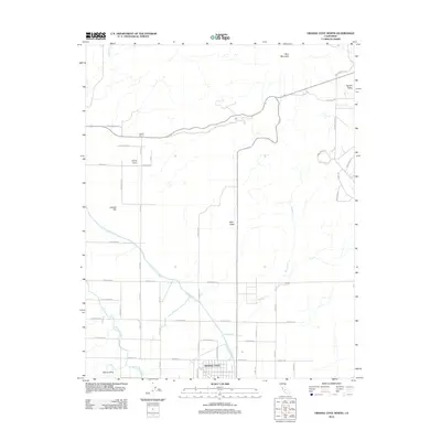
2012 Map of Orange Cove North
USGS Topo · Published 2012About this map
The agricultural landscape of eastern Fresno County is defined here by the critical water infrastructure of the Friant-Kern Canal and Alta E Br Canal, which supported the citrus groves and farmsteads surrounding Orange Cove in the early 21st century. The map illustrates a clear transition from the geometric grid of orchards and roads like Adams Ave and Cove Ave in the valley floor to the rising topography of the Sierra Nevada foothills.
Find a feature on this map
42 named features on this map. Tap any name to fly to it.
Don’t see what you’re looking for? This feature index may not catch every label — zoom into the map to look around manually.
Map Details
Editions of this 2012 Orange Cove North Map
This is the sole edition of this map. No revisions or reprints were ever made.
Other maps of this area

1920 · Orangedale School
USGS Topo · 1:24,000

1921 · Squaw Valley
USGS Topo · 1:31,680

1921 · Stokes Mountain
USGS Topo · 1:24,000

1922 · Trimmer
USGS Topo · 1:96,000

1923 · Sultana
USGS Topo · 1:31,680

1923 · Orangedale School
USGS Topo · 1:31,680

1923 · Wahtoke
USGS Topo · 1:31,680

1924 · Reedley
USGS Topo · 1:31,680

1924 · Citrus Cove
USGS Topo · 1:31,680

1924 · Dinuba
USGS Topo · 1:125,000