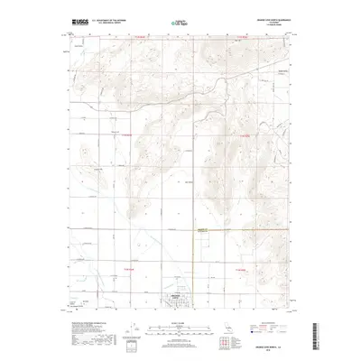
2018 Map of Orange Cove North
USGS Topo · Published 2018About this map
The Friant-Kern Canal and Alta East Branch Canal dominate the hydrological landscape of the San Joaquin Valley’s eastern edge, illustrating the complex irrigation systems essential to California's Central Valley agriculture. This 2018 survey detail shows how water management infrastructure, including the Alta W Clark Ditch and Miller Ditch, interlaces with the foothill terrain. Elevations rise sharply to the northeast toward Bear Mtn and Squaw Valley, while the flat agricultural lands are partitioned by a precise grid of roads such as Cove Ave and E American Ave. Small geographic pockets like Hills Valley and Clark Valley are defined by the surrounding heights of Granite Hill and Mt Olive. The boundary between Fresno and Tulare counties cuts through this transition from irrigated groves and settlements like Citrus Cove to the higher, uncultivated slopes of the Sierra Nevada foothills.
Find a feature on this map
57 named features on this map. Tap any name to fly to it.
Don’t see what you’re looking for? This feature index may not catch every label — zoom into the map to look around manually.
Map Details
Editions of this 2018 Orange Cove North Map
This is the sole edition of this map. No revisions or reprints were ever made.
Other maps of this area

1920 · Orangedale School
USGS Topo · 1:24,000

1921 · Squaw Valley
USGS Topo · 1:31,680

1921 · Stokes Mountain
USGS Topo · 1:24,000

1922 · Trimmer
USGS Topo · 1:96,000

1923 · Sultana
USGS Topo · 1:31,680

1923 · Orangedale School
USGS Topo · 1:31,680

1923 · Wahtoke
USGS Topo · 1:31,680

1924 · Reedley
USGS Topo · 1:31,680

1924 · Citrus Cove
USGS Topo · 1:31,680

1924 · Dinuba
USGS Topo · 1:125,000