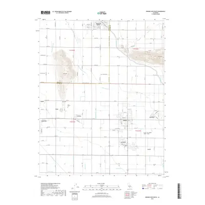
2018 Map of Orange Cove South
USGS Topo · Published 2018About this map
Orange Cove and Dinuba anchor this detailed study of the agricultural heartland in the Central Valley. The landscape is defined by an intricate network of irrigation, featuring the Friant-Kern Canal and the Alta East Branch Canal, alongside numerous local ditches like the Montague Ditch and Lovell Ditch. These water systems support the established communities of Sultana, Orosi, and Cutler, which developed around the regional rail corridors. Significant local landmarks include the prominent elevation of Smith Mtn and the nearby Smith Mountain Cem. The map illustrates a mature rural infrastructure where small settlements like Tokay and Wyeth serve as localized hubs within the vast grid of the San Joaquin Valley farm country.
Find a feature on this map
95 named features on this map. Tap any name to fly to it.
Don’t see what you’re looking for? This feature index may not catch every label — zoom into the map to look around manually.
Map Details
Editions of this 2018 Orange Cove South Map
This is the sole edition of this map. No revisions or reprints were ever made.
Other maps of this area

1921 · Squaw Valley
USGS Topo · 1:31,680

1921 · Stokes Mountain
USGS Topo · 1:24,000

1922 · Trimmer
USGS Topo · 1:96,000

1923 · Sultana
USGS Topo · 1:31,680

1923 · Wahtoke
USGS Topo · 1:31,680

1924 · Reedley
USGS Topo · 1:31,680

1924 · Citrus Cove
USGS Topo · 1:31,680

1924 · Dinuba
USGS Topo · 1:125,000

1924 · Stokes Mountain
USGS Topo · 1:31,680

1926 · Ivanhoe
USGS Topo · 1:31,680