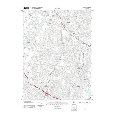
2011 Map of Orange
USGS Topo · Published 2011About this map
Montclair State University stands at the northern edge of this densely developed urban corridor, where the residential grids of Clifton and Passaic meet the wooded slopes of Stony Hill. This 2011 survey documents the complex geography of the Watchung Mountains' eastern face, showing a landscape where major transportation arteries like the Garden State Pkwy carve through established neighborhoods. Significant green spaces and legacy estates are preserved in the form of Llewellyn Park and numerous large burial grounds, including Holy Cross Cemetery and Rosedale Cemetery, which dominate the local topography alongside the winding course of the Passaic River. The map details a continuous urban fabric connecting centers like East Orange and Bloomfield, with specific rail landmarks such as Brick Church serving as focal points for local history researchers and genealogists tracing the development of Essex and Passaic counties.
Find a feature on this map
70 named features on this map. Tap any name to fly to it.
Don’t see what you’re looking for? This feature index may not catch every label — zoom into the map to look around manually.
Map Details
Editions of this 2011 Orange Map
This is the sole edition of this map. No revisions or reprints were ever made.
Other maps of this area

1888 · Plainfield
USGS Topo · 1:62,500

1888 · Morristown
USGS Topo · 1:62,500

1888 · Paterson
USGS Topo · 1:62,500

1892 · Paterson
USGS Topo · 1:62,500

1893 · Plainfield
USGS Topo · 1:62,500

1894 · Morristown
USGS Topo · 1:62,500

1898 · Morristown
USGS Topo · 1:62,500

1898 · Plainfield
USGS Topo · 1:62,500

1898 · Staten Island
USGS Topo · 1:62,500

1898 · Paterson
USGS Topo · 1:62,500