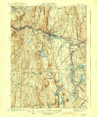
1941 Map of Orange
USGS Topo · Published 1941About this map
The Millers River corridor serves as the industrial and transportation backbone of this North Central Massachusetts region just before the mid-century. The Boston and Maine Railroad and the famed Mohawk Trail follow the river's path, connecting the primary settlement at Orange with West Orange and the nearby Wendell Depot. To the south, the landscape transitions into a network of upland villages and water bodies, including Lake Mattawa and the northern reaches of the Quabbin Reservoir, which had only recently been completed at the time of this survey.
Find a feature on this map
58 named features on this map. Tap any name to fly to it.
Don’t see what you’re looking for? This feature index may not catch every label — zoom into the map to look around manually.
Map Details
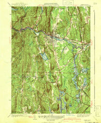
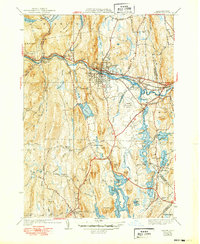
Editions of this 1941 Orange Map
3 editions found
Other maps of this area

1887 · Warwick
USGS Topo · 1:62,500

1887 · Belchertown
USGS Topo · 1:62,500

1887 · Winchendon
USGS Topo · 1:62,500

1887 · Barre
USGS Topo · 1:62,500

1889 · Barre
USGS Topo · 1:62,500

1889 · Warwick
USGS Topo · 1:62,500

1890 · Belchertown
USGS Topo · 1:62,500

1890 · Winchendon
USGS Topo · 1:62,500

1893 · Belchertown
USGS Topo · 1:62,500

1894 · Winchendon
USGS Topo · 1:62,500