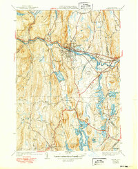
1941 Map of Orange
USGS Topo · Published 1949About this map
Industrial and rural landscapes converge along the Millers River corridor, where the Orange town center and its riverfront economy dominate the northern half of this 1930s survey. The Boston and Maine Railroad and the famed Mohawk Trail follow the river's winding path westward toward Wendell Depot, serving as the primary transport arteries for the region. To the south, the impact of the massive Quabbin project is visible as the northern reaches of the Quabbin Reservoir begin to fill the valley, altering the landscape near New Salem and South Athol. This transition from the manufacturing hub in Orange to the newly inundated southern basins provides a significant look at the area's geography before mid-century changes. Local history is anchored by family-named landmarks like Fishers Hill and Jones Cem, alongside early aviation infrastructure at the Orange Municipal Airport.
Find a feature on this map
80 named features on this map. Tap any name to fly to it.
Don’t see what you’re looking for? This feature index may not catch every label — zoom into the map to look around manually.
Map Details
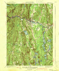
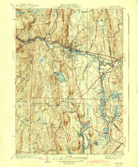
Editions of this 1941 Orange Map
3 editions found
Other maps of this area

1887 · Warwick
USGS Topo · 1:62,500

1887 · Belchertown
USGS Topo · 1:62,500

1887 · Winchendon
USGS Topo · 1:62,500

1887 · Barre
USGS Topo · 1:62,500

1889 · Barre
USGS Topo · 1:62,500

1889 · Warwick
USGS Topo · 1:62,500

1890 · Belchertown
USGS Topo · 1:62,500

1890 · Winchendon
USGS Topo · 1:62,500

1893 · Belchertown
USGS Topo · 1:62,500

1894 · Winchendon
USGS Topo · 1:62,500