
1945 Map of Orange
USGS Topo · Published 1945About this map
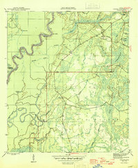
The Apalachicola River winds through a dense landscape of bottomlands and swamps on this mid-1940s survey of the Liberty and Calhoun county line. The map highlights a river-dependent economy and lifestyle, featuring riverfront access points like Gunn Landing and Porter Ldg, alongside more secluded sites such as Larkin Fish Camp. The interior terrain east of the river is dominated by the Apalachicola National Forest, where a network of wetlands including Devils Swamp and Franklin Pond define the drainage patterns.
Find a feature on this map
43 named features on this map. Tap any name to fly to it.
Don’t see what you’re looking for? This feature index may not catch every label — zoom into the map to look around manually.
Map Details
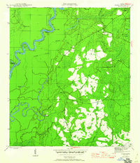
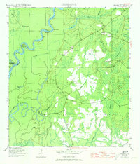
Editions of this 1945 Orange Map
4 editions found
Other maps of this area

1945 · Dead Lake
USGS Topo · 1:31,680

1945 · Kennedy Creek
USGS Topo · 1:31,680

1945 · Estiffanulga
USGS Topo · 1:31,680

1945 · Frink
USGS Topo · 1:31,680

1945 · Wewahitchka
USGS Topo · 1:31,680

1945 · Woods
USGS Topo · 1:31,680

1946 · Sumatra
USGS Topo · 1:31,680
1946 · Wilma
USGS Topo · 1:31,680

1954 · Tallahassee
USGS Topo · 1:250,000

1959 · Tallahassee
USGS Topo · 1:250,000