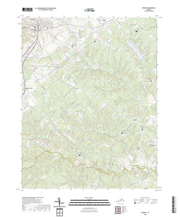
2022 Map of Orange
USGS Topo · Published 2022About this map
Orange serves as the focal point for this region of Central Virginia, where the historic Orange County Courthouse and Saint Thomas Episcopal Church anchor the town’s streetscape. The surrounding landscape transitions from the developed corridors of Waugh Blvd and W Main St into a rural terrain defined by numerous family burial grounds and small agricultural communities. Notable family landmarks like the Taylor Family Cem and Pierce Family Cem are scattered across the Piedmont uplands, while the southern edge of the survey is defined by the winding course of the N Anna River along the Orange and Louisa County line. This area is heavily influenced by its water systems, from the drainage of Pamunkey Cr and Church Run to the man-made Taylors Pond. Small settlements like Madison Run, Daniel, and Monrovia highlight the long-standing community structure of the county.
Find a feature on this map
108 named features on this map. Tap any name to fly to it.
Don’t see what you’re looking for? This feature index may not catch every label — zoom into the map to look around manually.
Map Details
Editions of this 2022 Orange Map
This is the sole edition of this map. No revisions or reprints were ever made.
Other maps of this area

1887 · Spottsylvania
USGS Topo · 1:125,000

1892 · Spottsylvania
USGS Topo · 1:125,000

1892 · Gordonsville
USGS Topo · 1:125,000

1942 · Mineral
USGS Topo · 1:31,680

1942 · Lahore
USGS Topo · 1:31,680

1943 · Unionville
USGS Topo · 1:24,000
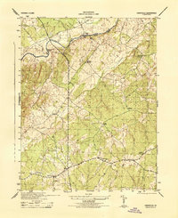
1944 · Unionville
USGS Topo · 1:31,680

1948 · Washington
USGS Topo · 1:250,000

1949 · Charlottesville
USGS Topo · 1:250,000

1956 · Charlottesville
USGS Topo · 1:250,000