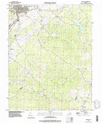
1994 Map of Orange
USGS Topo · Published 1997About this map
Orange serves as the primary hub in this mid-1990s landscape, situated north of the Orange Co Louisa Co boundary. The area is defined by a dense network of drainages including Black Run, Poorhouse Run, and Pamunkey Creek, which carve through the terrain south of the Lake Orange reservoir. Small named settlements like Pierces Shop and Madison Run are scattered throughout the region, often centered near local crossroads or cemeteries.
Find a feature on this map
26 named features on this map. Tap any name to fly to it.
Don’t see what you’re looking for? This feature index may not catch every label — zoom into the map to look around manually.
Map Details
Editions of this 1994 Orange Map
This is the sole edition of this map. No revisions or reprints were ever made.
Other maps of this area

1887 · Spottsylvania
USGS Topo · 1:125,000

1892 · Spottsylvania
USGS Topo · 1:125,000

1892 · Gordonsville
USGS Topo · 1:125,000

1942 · Mineral
USGS Topo · 1:31,680

1942 · Lahore
USGS Topo · 1:31,680

1943 · Unionville
USGS Topo · 1:24,000
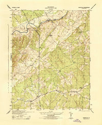
1944 · Unionville
USGS Topo · 1:31,680

1948 · Washington
USGS Topo · 1:250,000

1949 · Charlottesville
USGS Topo · 1:250,000

1956 · Charlottesville
USGS Topo · 1:250,000