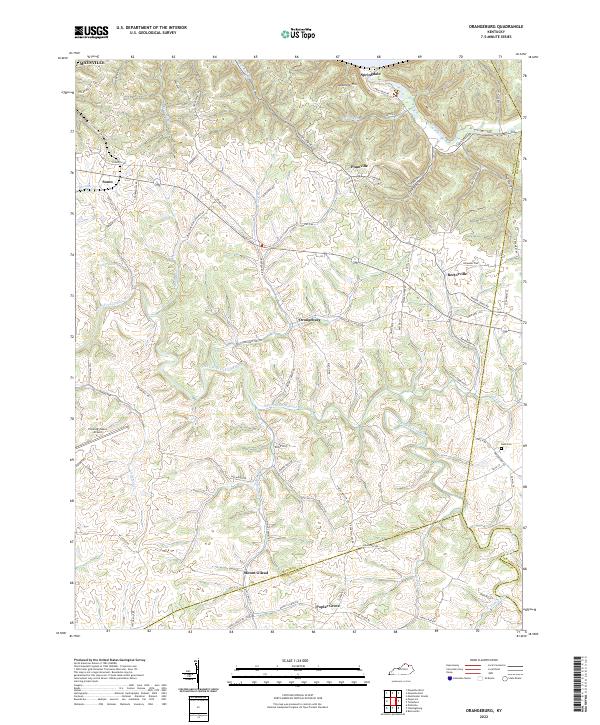
2022 Map of Orangeburg
USGS Topo · Published 2022About this map
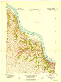
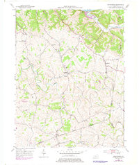
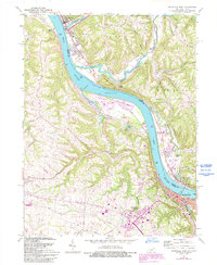
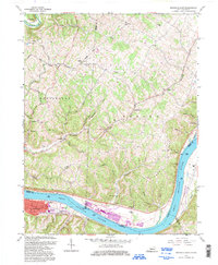
The North Fork Licking River winds through the heart of Mason County in this 2022 survey, anchoring a landscape of ridge-top settlements and winding country roads. Small rural communities like Orangeburg, Rectorville, and Plumville are established along the higher elevations, connected by a network of historic routes including Mason Lewis RD and State HWY 1234. The topography is defined by the sharp incisions of numerous waterways such as Cabin Creek, Indian Run, and Strodes Cr, which have shaped the movement of people and livestock for generations.
Find a feature on this map
79 named features on this map. Tap any name to fly to it.
Don’t see what you’re looking for? This feature index may not catch every label — zoom into the map to look around manually.
Map Details
Editions of this 2022 Orangeburg Map
This is the sole edition of this map. No revisions or reprints were ever made.
Historical Maps of Somo Through Time
7 maps found