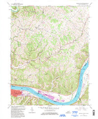
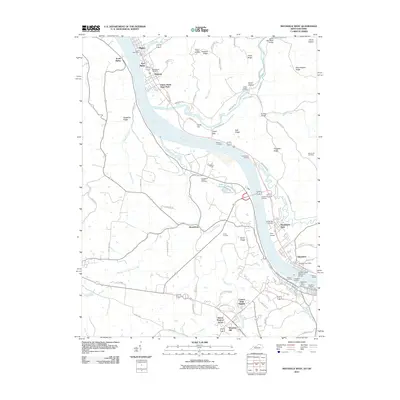
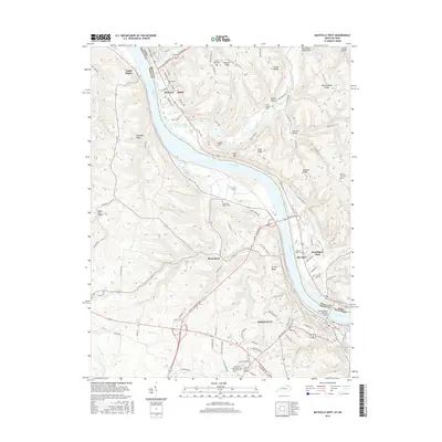
1992 Map of Maysville East
USGS Topo · Published 1997About this map
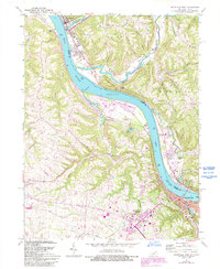
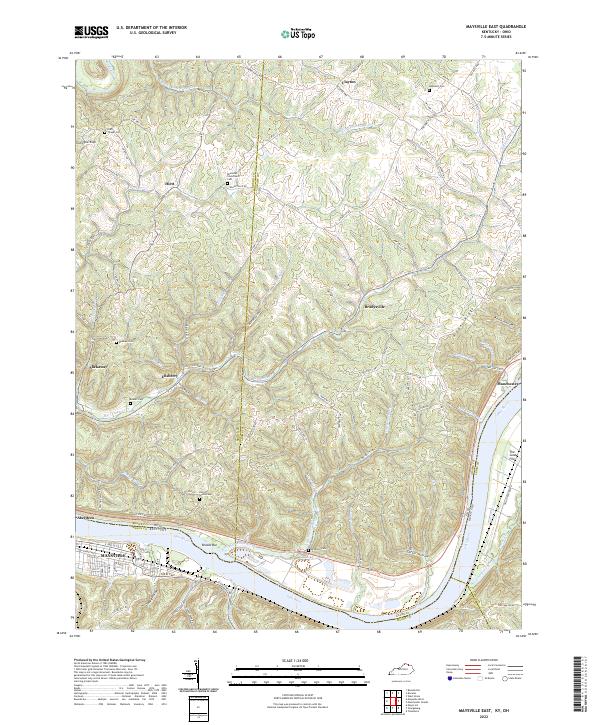
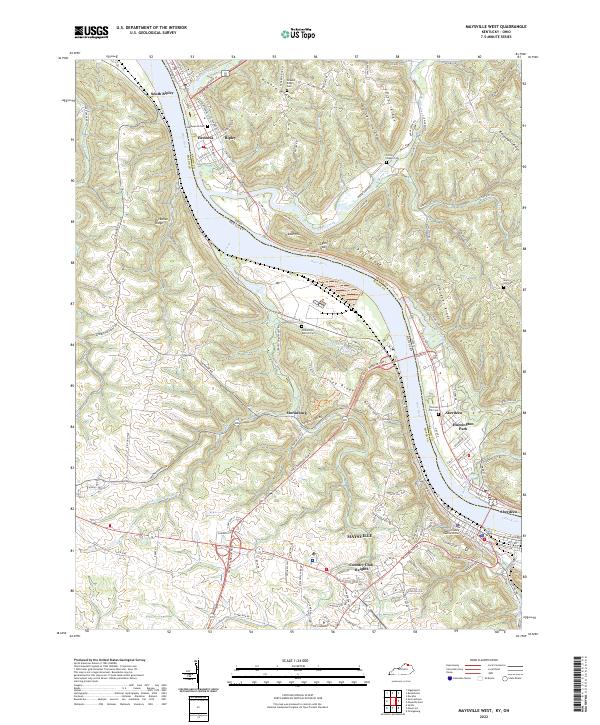
The Ohio River marks the central divide of this landscape, defining the border between Kentucky and Ohio as it winds past the established riverfront at Maysville. The terrain is characterized by a dense network of creek valleys and ridges, where small settlements like Bradysville and Evertonville sit tucked among the hills. Along the Kentucky side, civic and industrial life is evidenced by the County Home and the J M Stuart Power Plant, while the interior remains deeply tied to its rural roots through numerous small congregation sites such as Ravenscroft Chapel and Sulphur Springs Ch.
Find a feature on this map
63 named features on this map. Tap any name to fly to it.
Don’t see what you’re looking for? This feature index may not catch every label — zoom into the map to look around manually.
Map Details
Editions of this 1992 Maysville East Map
This is the sole edition of this map. No revisions or reprints were ever made.
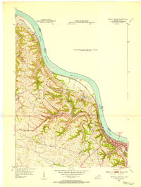
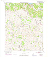
Historical Maps of Maysville Through Time
19 maps found
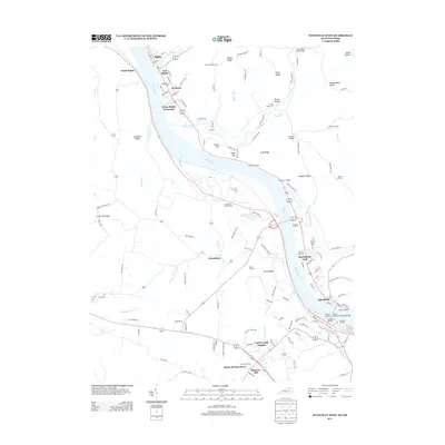
1952 Maysville West
Mason County, KY
1952 Orangeburg
Mason County, KY
1961 Maysville West
Mason County, KY
1992 Maysville East
Mason County, KY

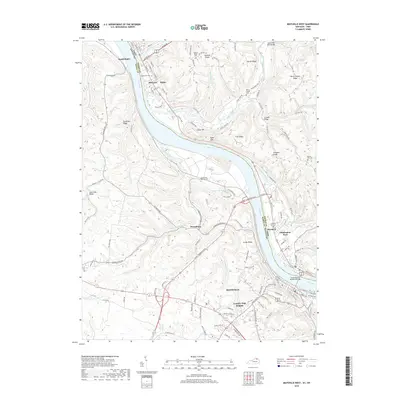
2010 Maysville East
Mason County, KY
2010 Maysville West
Mason County, KY
2010 Orangeburg
Mason County, KY

2013 Maysville East
Mason County, KY
2013 Maysville West
Mason County, KY
2013 Orangeburg
Mason County, KY

2016 Maysville East
Mason County, KY
2016 Maysville West
Mason County, KY
2016 Orangeburg
Mason County, KY

2019 Maysville East
Mason County, KY
2019 Maysville West
Mason County, KY
2019 Orangeburg
Mason County, KY
2022 Maysville East
Mason County, KY
2022 Maysville West
Mason County, KY
2022 Orangeburg
Mason County, KY