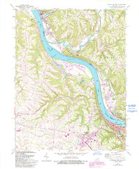
1961 Map of Maysville West
USGS Topo · Published 1993About this map
Maysville and Aberdeen anchor this riverfront survey, positioned on opposite banks where the Ohio River cuts through deep valleys and high limestone ridges. The landscape is defined by the steep relief of Howard Ridge and Porter Ridge, which frame the winding path of Eagle Creek to the north. In Kentucky, the transportation network of the early 1960s is visible through the Chesapeake and Ohio Railway corridor and the emergence of suburban developments like Country Club Heights.
Find a feature on this map
52 named features on this map. Tap any name to fly to it.
Don’t see what you’re looking for? This feature index may not catch every label — zoom into the map to look around manually.
Map Details
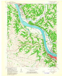
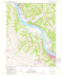
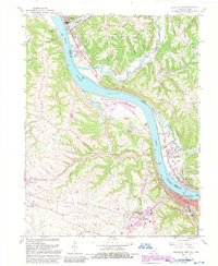
Editions of this 1961 Maysville West Map
4 editions found
Other maps of this area

1915 · Maysville
USGS Topo · 1:62,500

1918 · Seaman
USGS Topo · 1:62,500

1919 · Maysville
USGS Topo · 1:62,500

1928 · Higginsport
USGS Topo · 1:48,000

1929 · Springdale
USGS Topo · 1:48,000

1931 · Higginsport
USGS Topo · 1:62,500

1935 · Springdale
USGS Topo · 1:62,500

1952 · Maysville East
USGS Topo · 1:24,000

1952 · Germantown
USGS Topo · 1:24,000

1952 · Higginsport
USGS Topo · 1:24,000