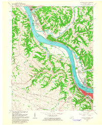
1961 Map of Maysville West
USGS Topo · Published 1963About this map
The Ohio River carves a deep valley between the Kentucky and Ohio borders, shaping the development of Maysville and its neighbor across the water, Aberdeen. This 1961 revision illustrates the established riverfront infrastructure, including the Chesapeake and Ohio railroad corridor and local landmarks like the Water Tank and Radio Tower near the city center. The surrounding Kentucky hillsides are dotted with traditional rural markers, from the Lawrence Creek Ch to family and community burial grounds such as Charleston Bottom Cem and Maplewood Cem.
Find a feature on this map
53 named features on this map. Tap any name to fly to it.
Don’t see what you’re looking for? This feature index may not catch every label — zoom into the map to look around manually.
Map Details
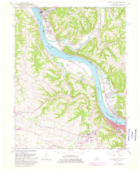
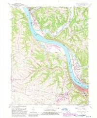
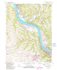
Editions of this 1961 Maysville West Map
4 editions found
Other maps of this area

1915 · Maysville
USGS Topo · 1:62,500

1918 · Seaman
USGS Topo · 1:62,500

1919 · Maysville
USGS Topo · 1:62,500

1928 · Higginsport
USGS Topo · 1:48,000

1929 · Springdale
USGS Topo · 1:48,000

1931 · Higginsport
USGS Topo · 1:62,500

1935 · Springdale
USGS Topo · 1:62,500

1952 · Maysville East
USGS Topo · 1:24,000

1952 · Germantown
USGS Topo · 1:24,000

1952 · Higginsport
USGS Topo · 1:24,000