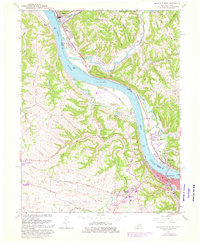
1961 Map of Maysville West
USGS Topo · Published 1976About this map
The Ohio River carves a deep valley through this borderland between Maysville, Kentucky, and Aberdeen, Ohio, in a 1961 survey revised with 1974 aerial data. The map documents a landscape defined by the river’s commerce and the steep, ridge-and-hollow topography of the Huntington district. The historic river towns of Ripley and South Ripley sit at the northern bend, while the industrial and residential growth of Maysville expands along the southern bank.
Find a feature on this map
55 named features on this map. Tap any name to fly to it.
Don’t see what you’re looking for? This feature index may not catch every label — zoom into the map to look around manually.
Map Details
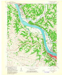
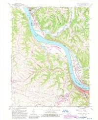
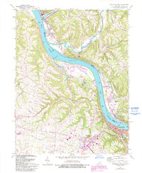
Editions of this 1961 Maysville West Map
4 editions found
Other maps of this area

1915 · Maysville
USGS Topo · 1:62,500

1918 · Seaman
USGS Topo · 1:62,500

1919 · Maysville
USGS Topo · 1:62,500

1928 · Higginsport
USGS Topo · 1:48,000

1929 · Springdale
USGS Topo · 1:48,000

1931 · Higginsport
USGS Topo · 1:62,500

1935 · Springdale
USGS Topo · 1:62,500

1952 · Maysville East
USGS Topo · 1:24,000

1952 · Germantown
USGS Topo · 1:24,000

1952 · Higginsport
USGS Topo · 1:24,000