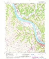
1961 Map of Maysville West
USGS Topo · Published 1988About this map
The Ohio River valley serves as the primary artery for transport and settlement between Mason County, Kentucky, and Brown County, Ohio, during this early 1960s survey. The city of Maysville anchors the southern bank, where the Chesapeake and Ohio railroad tracks parallel the water, supporting the area's river-and-rail commerce. Across the river, the village of Aberdeen and the town of Ripley define the Ohio shoreline. The landscape is characterized by a series of prominent ridges, such as Bloomington Ridge and Puff Ridge, which are dotted with family-named landmarks and historical sites. Genealogists may find interest in several rural burying grounds including Fitchs Chapel Cem, Maplewood Cem, and the Charleston Bottom Cem. Notable landmarks of the era include the Maysville Country Club, an Indian Mound near Huntington Park, and a Drive-in Theatre located near the riverbank at Aberdeen.
Find a feature on this map
51 named features on this map. Tap any name to fly to it.
Don’t see what you’re looking for? This feature index may not catch every label — zoom into the map to look around manually.
Map Details
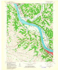
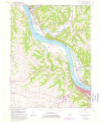
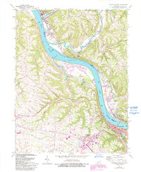
Editions of this 1961 Maysville West Map
4 editions found
Other maps of this area

1915 · Maysville
USGS Topo · 1:62,500

1918 · Seaman
USGS Topo · 1:62,500

1919 · Maysville
USGS Topo · 1:62,500

1928 · Higginsport
USGS Topo · 1:48,000

1929 · Springdale
USGS Topo · 1:48,000

1931 · Higginsport
USGS Topo · 1:62,500

1935 · Springdale
USGS Topo · 1:62,500

1952 · Maysville East
USGS Topo · 1:24,000

1952 · Germantown
USGS Topo · 1:24,000

1952 · Higginsport
USGS Topo · 1:24,000