2023 Map of Orangeville
USGS Topo · Published 2023About this map
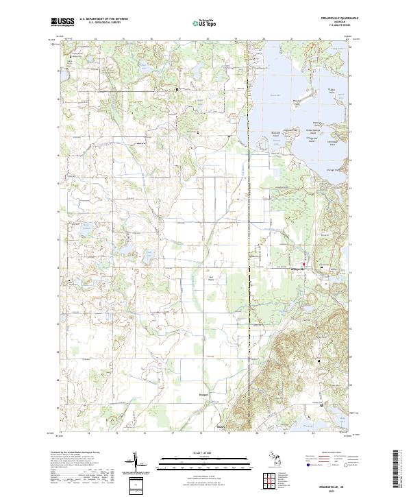
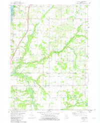
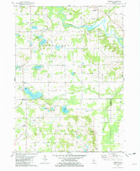
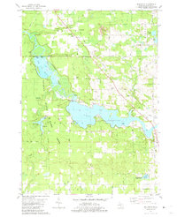
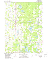
The Gun River and its surrounding wetlands dominate the terrain of this southwestern Michigan landscape, where the borders of Allegan and Barry counties meet. This contemporary survey shows the settlement of Orangeville positioned near the marshy banks of Orangeville Creek, while the hamlets of Hooper and Neeley sit further south along the river's course. The map provides significant genealogical value through its many small, named burial grounds, including the Bradley Indian Mission Cem, Selkirk Family Cem, and Messer Cem, reflecting the early pioneer and Indigenous history of the area. To the northeast, the shoreline of Gun Lake is densely developed with points and islands such as Englands Point and Yankee Springs Island. This area, known as Gun Plains, transitions from the recreational waters of the lakes to a grid of rural section roads and agricultural lands defined by Greggs Brook and Fenner Creek.
Find a feature on this map
110 named features on this map. Tap any name to fly to it.
Don’t see what you’re looking for? This feature index may not catch every label — zoom into the map to look around manually.
Map Details
Editions of this 2023 Orangeville Map
This is the sole edition of this map. No revisions or reprints were ever made.
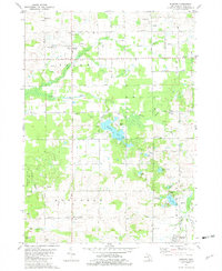
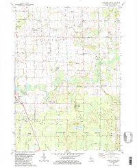
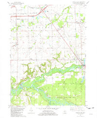
Historical Maps of Martin Township Through Time
20 maps found
1981 Burnips
Allegan County, MI

1981 Glenn
Allegan County, MI
1981 Hamilton East
Allegan County, MI
1981 Hamilton West
Allegan County, MI
1981 Lacota
Allegan County, MI
1981 Merson
Allegan County, MI
1981 Millgrove
Allegan County, MI
1981 Pullman
Allegan County, MI
1982 Bowens Mill
Allegan County, MI
1982 Orangeville
Allegan County, MI
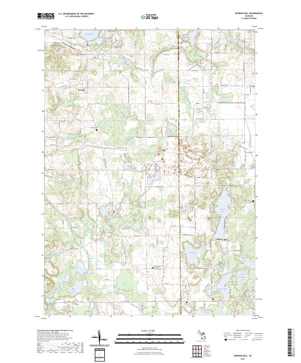
2023 Bowens Mill
Allegan County, MI
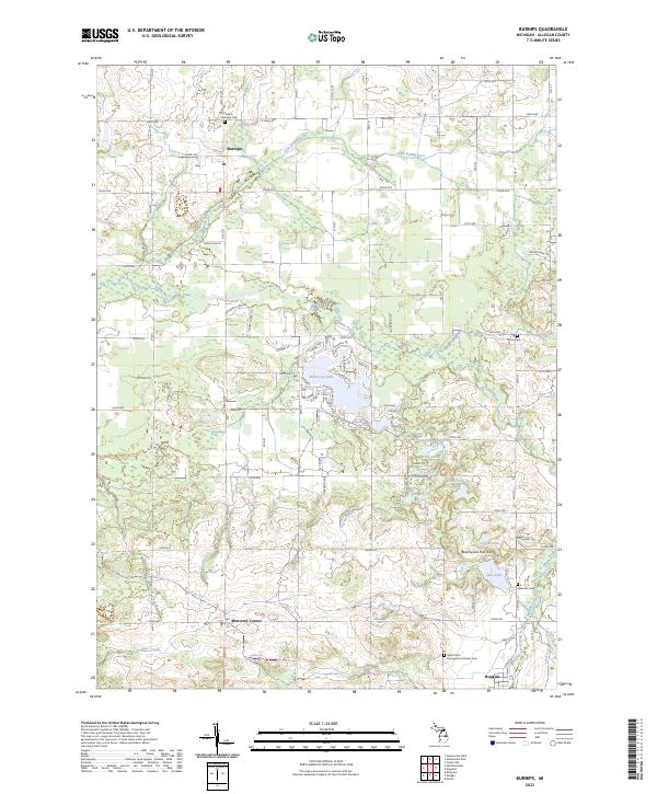
2023 Burnips
Allegan County, MI
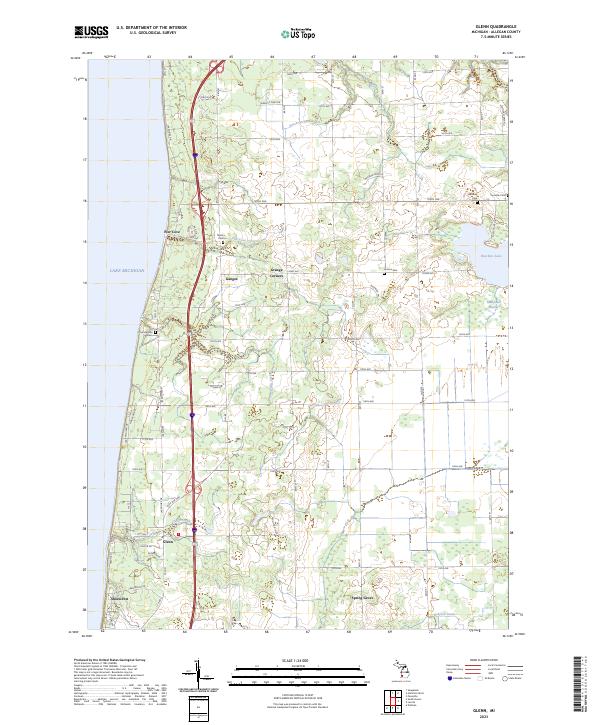
2023 Glenn
Allegan County, MI
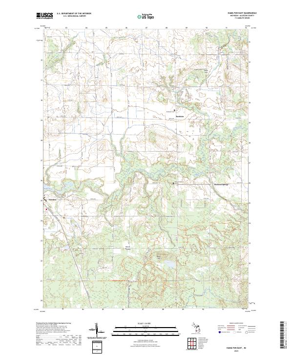
2023 Hamilton East
Allegan County, MI

2023 Hamilton West
Allegan County, MI
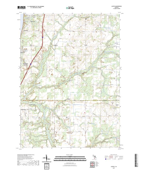
2023 Lacota
Allegan County, MI
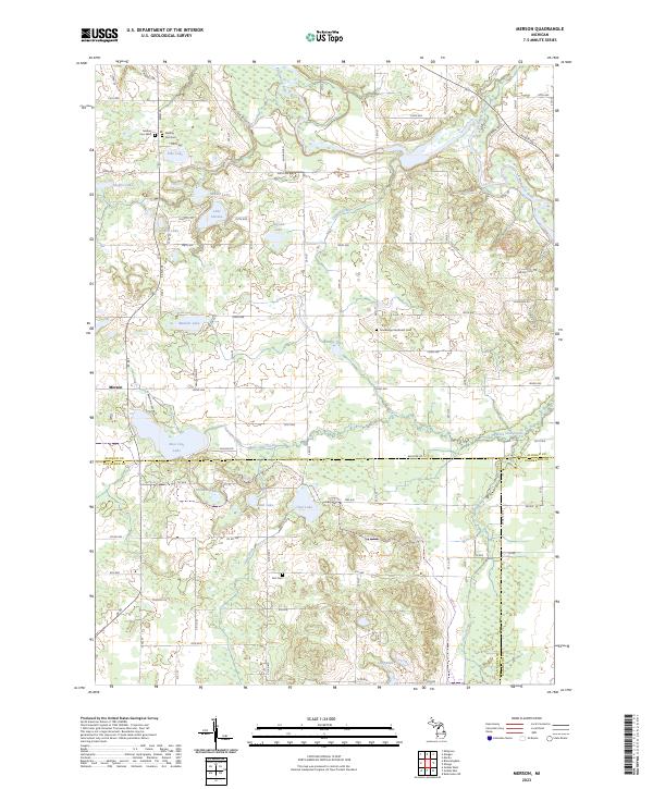
2023 Merson
Allegan County, MI
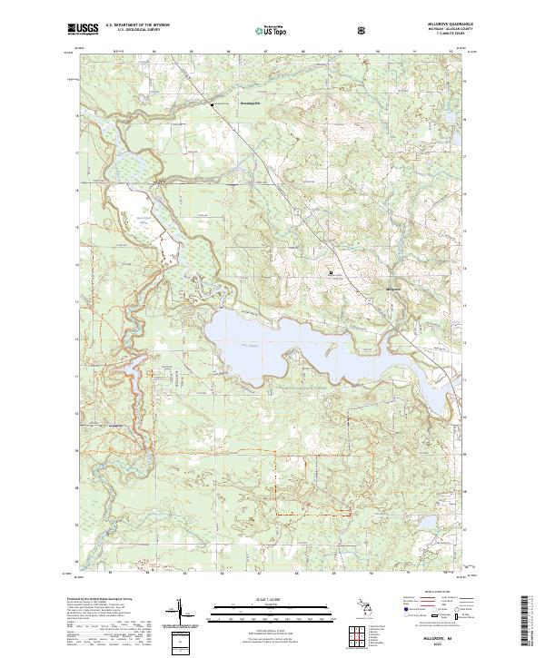
2023 Millgrove
Allegan County, MI
2023 Orangeville
Allegan County, MI
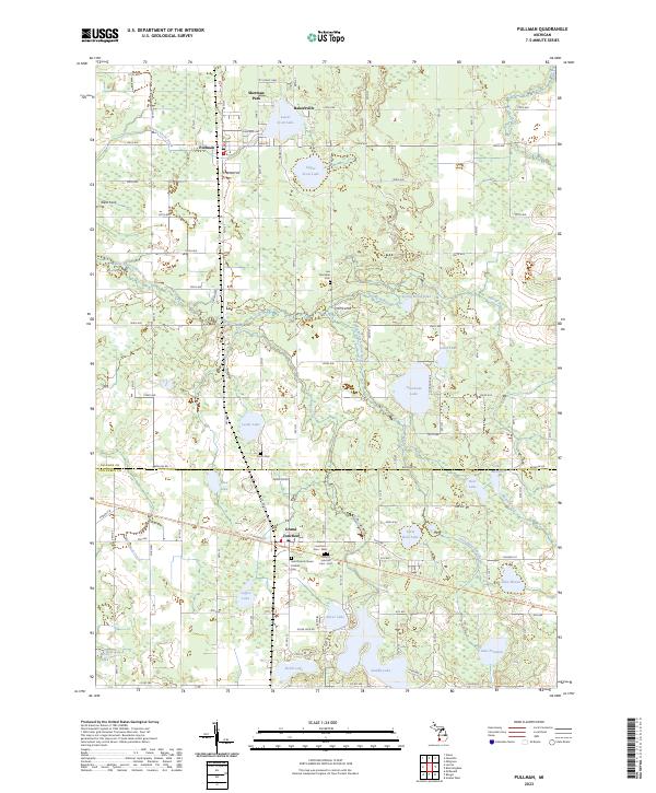
2023 Pullman
Allegan County, MI
Featured Locations
- Yankee Springs Township, MI
- Orangeville Township, MI
- Gun Plain Charter Township, MI
- Wayland Township, MI
- Orangeville, Orangeville Township