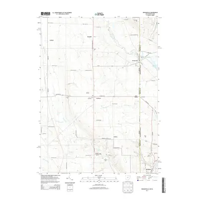
2013 Map of Orangeville
USGS Topo · Published 2013About this map
Orangeville straddles the Ohio-Pennsylvania border, serving as a focal point for a landscape defined by small settlements and the winding course of Pymatuning Creek. This region in the early 21st century maintains a rural character, evidenced by the numerous cemeteries like Burghill Cem and Hartford Center Cem that anchor the local genealogy. The map captures the specialized land use of the area, from the Hartford Orchards and Sharon Speedway to the small-scale aviation at Kenley Airport.
Find a feature on this map
67 named features on this map. Tap any name to fly to it.
Don’t see what you’re looking for? This feature index may not catch every label — zoom into the map to look around manually.
Map Details
Editions of this 2013 Orangeville Map
This is the sole edition of this map. No revisions or reprints were ever made.
Other maps of this area

1905 · Neshannock
USGS Topo · 1:62,500

1906 · Youngstown
USGS Topo · 1:62,500

1907 · Neshannock
USGS Topo · 1:62,500

1907 · Kinsman
USGS Topo · 1:62,500

1908 · Shenango
USGS Topo · 1:62,500

1908 · Youngstown
USGS Topo · 1:62,500

1950 · Cleveland
USGS Topo · 1:250,000

1954 · Sharon West
USGS Topo · 1:24,000

1954 · Girard
USGS Topo · 1:24,000

1956 · Cleveland
USGS Topo · 1:250,000