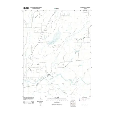
2010 Map of Orchard City
USGS Topo · Published 2010About this map
The Gunnison River flows across the southern portion of this region, shaping the agricultural landscape of Delta County. The terrain transitions from the water-rich bottomlands near the river to the elevated Redlands Mesa and Cedar Mesa in the northeast. This area is defined by a complex network of irrigation infrastructure essential for local orchards and farms, including the North Delta Canal, Alfalfa Ditch, and Highline Ditch. These waterways support the various settlements established along the valley floor.
Find a feature on this map
85 named features on this map. Tap any name to fly to it.
Don’t see what you’re looking for? This feature index may not catch every label — zoom into the map to look around manually.
Map Details
Editions of this 2010 Orchard City Map
This is the sole edition of this map. No revisions or reprints were ever made.
Other maps of this area

1955 · Olathe NW
USGS Topo · 1:24,000

1955 · Black Ridge
USGS Topo · 1:24,000

1955 · Lazear
USGS Topo · 1:24,000

1956 · Montrose
USGS Topo · 1:250,000

1956 · Moab
USGS Topo · 1:250,000

1959 · Moab
USGS Topo · 1:250,000

1959 · Montrose
USGS Topo · 1:250,000

1960 · Montrose
USGS Topo · 1:250,000

1960 · Moab
USGS Topo · 1:250,000

1962 · Moab
USGS Topo · 1:250,000