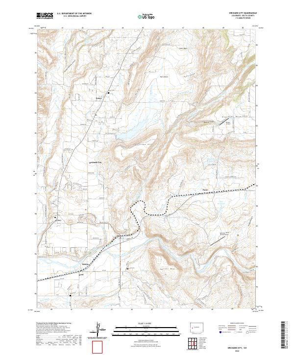
2022 Map of Orchard City
USGS Topo · Published 2022About this map
Orchard City and its surrounding hamlets of Eckert, Austin, and Read occupy a landscape deeply defined by the complex irrigation networks of the Gunnison River basin. This survey details the critical water infrastructure supporting the valley’s agriculture, from the winding Alfalfa Ditch and Bona Fide Ditch to the significant collection area of Harts Basin. The proximity of numerous burial grounds, including Eckert Cem, Cory Cem, and Read Cem, suggests the long-established family roots in this farming corridor.
Find a feature on this map
96 named features on this map. Tap any name to fly to it.
Don’t see what you’re looking for? This feature index may not catch every label — zoom into the map to look around manually.
Map Details
Editions of this 2022 Orchard City Map
This is the sole edition of this map. No revisions or reprints were ever made.
Other maps of this area

1955 · Olathe NW
USGS Topo · 1:24,000

1955 · Black Ridge
USGS Topo · 1:24,000

1955 · Lazear
USGS Topo · 1:24,000

1956 · Montrose
USGS Topo · 1:250,000

1956 · Moab
USGS Topo · 1:250,000

1959 · Moab
USGS Topo · 1:250,000

1959 · Montrose
USGS Topo · 1:250,000

1960 · Montrose
USGS Topo · 1:250,000

1960 · Moab
USGS Topo · 1:250,000

1962 · Moab
USGS Topo · 1:250,000