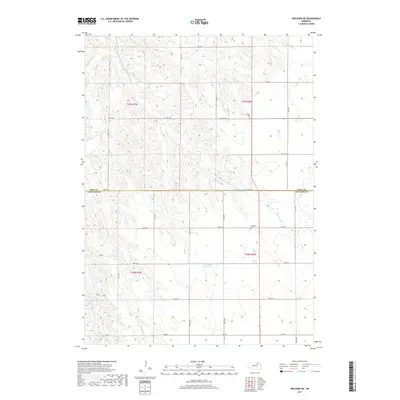
2017 Map of Orchard NE
USGS Topo · Published 2017About this map
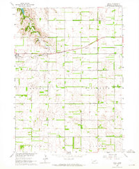
Verdigre Creek and its various tributaries, including Merriman Cr and Cottonwood Cr, carve a complex drainage pattern through the Nebraska landscape along the Knox and Antelope County line. This 2017 survey reveals a rural terrain structured by a rigid section-line road network, where local history is anchored by sites such as Olcott Cem and Millerboro Cem. Water management is a primary feature of the landscape, evident in the Hanneman Reservoir and the Rod and Gun Club Reservoir situated near the county boundary. In the southwestern reaches, the E Br Verdigre Cr feeds into Grove Lake, illustrating the intersection of natural hydrology and local recreational or agricultural infrastructure. The map serves as a precise record of late-20th and early-21st-century land divisions and rural landmarks.
Find a feature on this map
24 named features on this map. Tap any name to fly to it.
Don’t see what you’re looking for? This feature index may not catch every label — zoom into the map to look around manually.
Map Details
Editions of this 2017 Orchard NE Map
This is the sole edition of this map. No revisions or reprints were ever made.
Other maps of this area
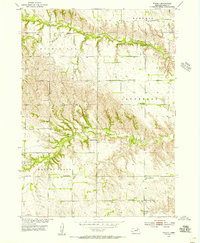
1954 · Walnut
USGS Topo · 1:24,000
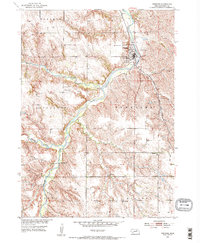
1954 · Verdigre
USGS Topo · 1:24,000
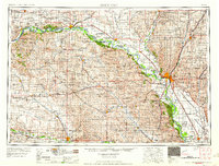
1955 · Sioux City
USGS Topo · 1:250,000

1955 · O'Neill
USGS Topo · 1:250,000
1958 · Sioux City
USGS Topo · 1:250,000

1959 · O'Neill
USGS Topo · 1:250,000
1959 · Sioux City
USGS Topo · 1:250,000
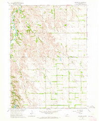
1963 · Orchard NE
USGS Topo · 1:24,000
1963 · Brunswick
USGS Topo · 1:24,000
1963 · Royal
USGS Topo · 1:24,000