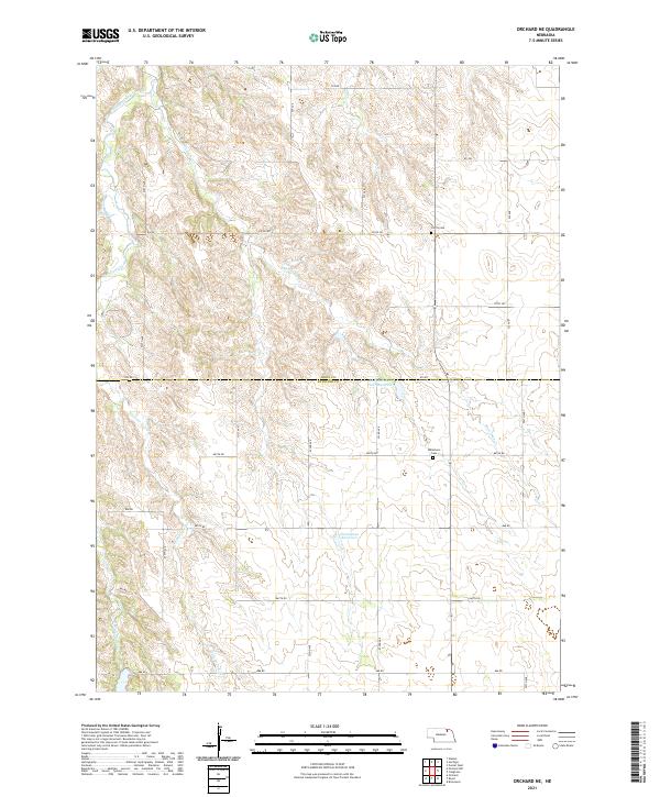
2021 Map of Orchard NE
USGS Topo · Published 2021About this map
Verdigre Creek and its many tributaries, including Merriman Cr and Cottonwood Cr, carve a complex drainage pattern across this section of the Nebraska high plains. The landscape is defined by the transition between Knox and Antelope counties, where a highly organized grid of rural section roads like 870 Rd and 522nd Ave provides access to isolated agricultural holdings. Two small burial grounds, Olcott Cem and Millerboro Cem, sit near these section lines, serving as quiet markers of the families who settled this prairie. Managed water features such as Hanneman Reservoir and the Rod and Gun Club Reservoir highlight the importance of water management in an area otherwise dominated by seasonal stream beds like the E Br Verdigre Cr.
Find a feature on this map
32 named features on this map. Tap any name to fly to it.
Don’t see what you’re looking for? This feature index may not catch every label — zoom into the map to look around manually.
Map Details
Editions of this 2021 Orchard NE Map
This is the sole edition of this map. No revisions or reprints were ever made.
Other maps of this area

1954 · Walnut
USGS Topo · 1:24,000

1954 · Verdigre
USGS Topo · 1:24,000

1955 · Sioux City
USGS Topo · 1:250,000

1955 · O'Neill
USGS Topo · 1:250,000

1958 · Sioux City
USGS Topo · 1:250,000

1959 · O'Neill
USGS Topo · 1:250,000

1959 · Sioux City
USGS Topo · 1:250,000

1963 · Orchard NE
USGS Topo · 1:24,000

1963 · Brunswick
USGS Topo · 1:24,000

1963 · Royal
USGS Topo · 1:24,000