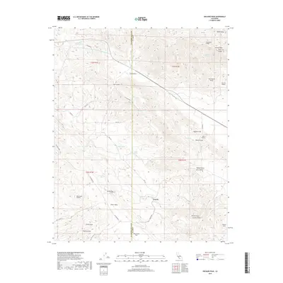
2018 Map of Orchard Peak
USGS Topo · Published 2018About this map
Annette and the high ridges of the Diablo Range define this landscape where the San Andreas Fault cuts a distinct line through the foothills. The map documents a complex network of seasonal water sources and canyons, including Poison Water Pond and the Governor Edmund G Brown Coastal Br California Aqueduct in the north. The terrain transitions from the high point at Orchard Peak down toward the Central Valley and San Joaquin Valley, bridged by historical travel routes like the Hilbrich Grade.
Find a feature on this map
51 named features on this map. Tap any name to fly to it.
Don’t see what you’re looking for? This feature index may not catch every label — zoom into the map to look around manually.
Map Details
Editions of this 2018 Orchard Peak Map
This is the sole edition of this map. No revisions or reprints were ever made.
Other maps of this area
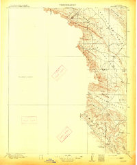
1914 · Cholame
USGS Topo · 1:125,000
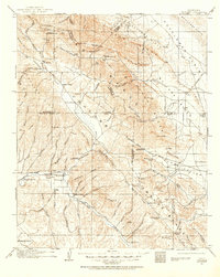
1915 · Cholame
USGS Topo · 1:125,000
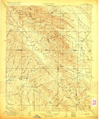
1917 · Cholame
USGS Topo · 1:125,000
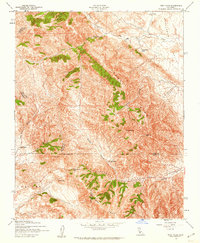
1942 · Tent Hills
USGS Topo · 1:24,000
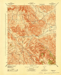
1943 · Packwood
USGS Topo · 1:31,680
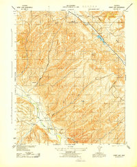
1943 · Grant Lake
USGS Topo · 1:31,680
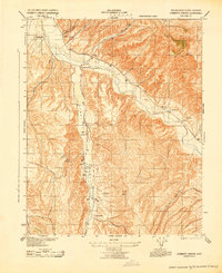
1943 · Commatti Canyon
USGS Topo · 1:31,680
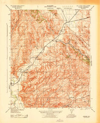
1943 · Cholame
USGS Topo · 1:31,680
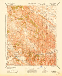
1943 · Tent Hills
USGS Topo · 1:31,680
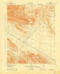
1943 · Sawtooth Ridge
USGS Topo · 1:31,680