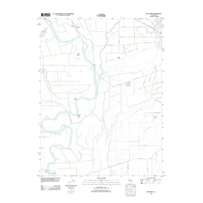
2012 Map of Ord Ferry
USGS Topo · Published 2012About this map
The Sacramento River meanders through this agricultural corridor, defining a landscape shaped by river landings and seasonal waterways. Several historical access points, including Ord Ferry, Chico Landing, and Pine Creek Landing, anchor the riverbank, reflecting the era's reliance on the water for transport and commerce. The river’s shifting course is evident in the numerous sloughs and reaches, such as Deadmans Reach and Shannon Slough, which branch off the main channel near Phelan Island and Golden State Island.
Find a feature on this map
58 named features on this map. Tap any name to fly to it.
Don’t see what you’re looking for? This feature index may not catch every label — zoom into the map to look around manually.
Map Details
Editions of this 2012 Ord Ferry Map
This is the sole edition of this map. No revisions or reprints were ever made.
Other maps of this area

1891 · Chico
USGS Topo · 1:125,000

1893 · Chico
USGS Topo · 1:125,000

1895 · Chico
USGS Topo · 1:125,000

1904 · Vina
USGS Topo · 1:62,500

1906 · Willows
USGS Topo · 1:62,500

1912 · Durham
USGS Topo · 1:31,680

1912 · Nord
USGS Topo · 1:31,680

1912 · Chico Landing
USGS Topo · 1:31,680

1912 · Nelson
USGS Topo · 1:31,680

1912 · Keefers
USGS Topo · 1:31,680