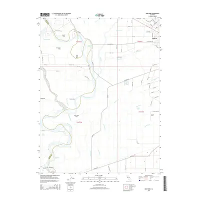
2015 Map of Ord Ferry
USGS Topo · Published 2015About this map
The Sacramento River carves a winding path through the Central Valley in this 2015 survey, revealing a landscape defined by its intricate water systems and agricultural roots. The western edge of Chico is visible, showing the expansion of residential streets like Rodeo Ave and Henshaw Ave near the Lindo Channel. The river itself is punctuated by distinct landmarks such as Phelan Island and Golden State Island, while the surrounding terrain is a network of named sloughs including Murphy Slough and Angel Slough.
Find a feature on this map
70 named features on this map. Tap any name to fly to it.
Don’t see what you’re looking for? This feature index may not catch every label — zoom into the map to look around manually.
Map Details
Editions of this 2015 Ord Ferry Map
This is the sole edition of this map. No revisions or reprints were ever made.
Other maps of this area
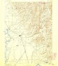
1891 · Chico
USGS Topo · 1:125,000
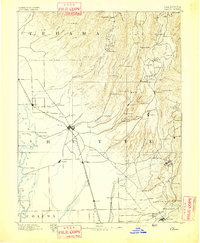
1893 · Chico
USGS Topo · 1:125,000
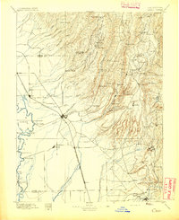
1895 · Chico
USGS Topo · 1:125,000
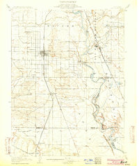
1904 · Vina
USGS Topo · 1:62,500
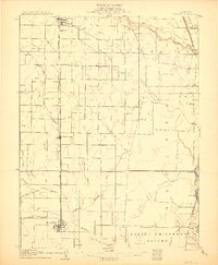
1906 · Willows
USGS Topo · 1:62,500
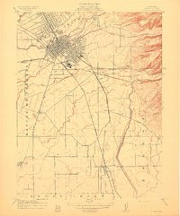
1912 · Durham
USGS Topo · 1:31,680
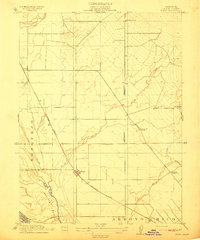
1912 · Nord
USGS Topo · 1:31,680
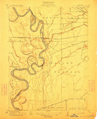
1912 · Chico Landing
USGS Topo · 1:31,680
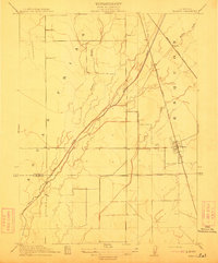
1912 · Nelson
USGS Topo · 1:31,680
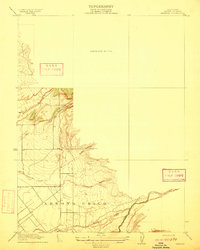
1912 · Keefers
USGS Topo · 1:31,680