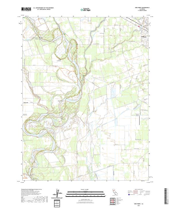
2021 Map of Ord Ferry
USGS Topo · Published 2021About this map
The Sacramento River meanders through the heart of this landscape, defining the boundaries between Butte and Glenn counties. The river's winding path creates a complex network of sloughs and reaches, including the evocative Deadmans Reach and Jenny Lind Bend. To the west, the settlement of Monroeville sits near the Pioneer Cem, providing a focal point for genealogical research in this fertile section of the Sacramento Valley.
Find a feature on this map
78 named features on this map. Tap any name to fly to it.
Don’t see what you’re looking for? This feature index may not catch every label — zoom into the map to look around manually.
Map Details
Editions of this 2021 Ord Ferry Map
This is the sole edition of this map. No revisions or reprints were ever made.
Other maps of this area

1891 · Chico
USGS Topo · 1:125,000

1893 · Chico
USGS Topo · 1:125,000

1895 · Chico
USGS Topo · 1:125,000

1904 · Vina
USGS Topo · 1:62,500

1906 · Willows
USGS Topo · 1:62,500

1912 · Durham
USGS Topo · 1:31,680

1912 · Nord
USGS Topo · 1:31,680

1912 · Chico Landing
USGS Topo · 1:31,680

1912 · Nelson
USGS Topo · 1:31,680

1912 · Keefers
USGS Topo · 1:31,680