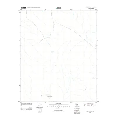
2012 Map of Ord Mountain
USGS Topo · Published 2012About this map
Ord Mountain Rd and Camp Rock Rd provide the primary access through this arid landscape in the Mojave Desert, where water sources like Sweetwater Spring were historically vital for transit and survival. The terrain is dominated by the massive profile of Ord Mountain and the associated Ord Mountains range, which overlook the flat expanse of Tyler Valley. This 2012 survey illustrates the hydrological patterns of the high desert, showing how seasonal drainage through Daggett Wash and Kane Wash feeds toward the basin of Ericksen Dry Lake. The map details the elevation changes leading to East Ord Mountain, reflecting a landscape primarily shaped by natural features rather than dense human settlement, characteristic of the San Bernardino County backcountry during this era.
Find a feature on this map
10 named features on this map. Tap any name to fly to it.
Don’t see what you’re looking for? This feature index may not catch every label — zoom into the map to look around manually.
Map Details
Editions of this 2012 Ord Mountain Map
This is the sole edition of this map. No revisions or reprints were ever made.
Other maps of this area
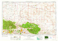
1953 · San Bernardino
USGS Topo · 1:250,000
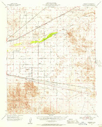
1955 · Newberry
USGS Topo · 1:62,500
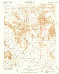
1955 · Ord Mountains
USGS Topo · 1:62,500
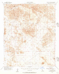
1955 · Rodman Mountains
USGS Topo · 1:62,500
1956 · San Bernardino
USGS Topo · 1:250,000
1956 · Daggett
USGS Topo · 1:62,500
1957 · San Bernardino
USGS Topo · 1:250,000
1958 · San Bernardino
USGS Topo · 1:250,000
1959 · San Bernardino
USGS Topo · 1:250,000
1966 · San Bernardino
USGS Topo · 1:250,000