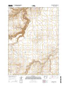
2014 Map of Oregon Butte
USGS Topo · Published 2014About this map
Oregon Butte and Mahogany Butte anchor this high-plateau landscape in Malheur County, where the high desert is carved by the deep drainage of the W Little Owyhee River. The terrain is defined by dramatic elevation shifts at Massey Canyon and the prominent Louse Canyon Long Ridge. This 2014 survey reveals a network of remote ranching and access routes, including Airplane Reservoir Rd and the River Spur, which navigate the space between Twin Buttes and the winding course of Toppin Cr. A critical water source in this arid environment is the Oregon Butte Spring, located just north of its namesake peak. The presence of named tracks like Andy Fife and Tent Creek Rd suggests a landscape tied to long-standing land use and local navigation through the sagebrush-covered canyons and ridges.
Find a feature on this map
19 named features on this map. Tap any name to fly to it.
Don’t see what you’re looking for? This feature index may not catch every label — zoom into the map to look around manually.
Map Details
Editions of this 2014 Oregon Butte Map
This is the sole edition of this map. No revisions or reprints were ever made.
Other maps of this area
1882 · Paradise
USGS Topo · 1:250,000
1893 · Paradise
USGS Topo · 1:250,000

1955 · McDermitt
USGS Topo · 1:250,000

1955 · Jordan Valley
USGS Topo · 1:250,000

1957 · Jordan Valley
USGS Topo · 1:250,000

1958 · Jordan Valley
USGS Topo · 1:250,000

1959 · McDermitt
USGS Topo · 1:250,000
1980 · Odell Mountain
USGS Topo · 1:24,000
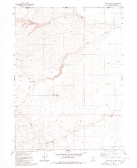
1980 · Calico Butte
USGS Topo · 1:24,000
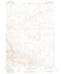
1980 · Mahogany Spring
USGS Topo · 1:24,000