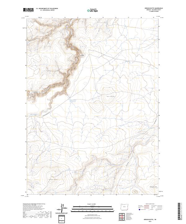
2024 Map of Oregon Butte
USGS Topo · Published 2024About this map
The West Little Owyhee Wild and Scenic River carves a deep, winding course through this high-altitude landscape in Malheur County. The river's path is defined by steep descents into Massey Canyon and Loose Canyon, while the surrounding terrain is dominated by prominent volcanic landforms like Oregon Butte, Mahogany Butte, and Twin Buttes. Water management in this arid environment is evident through isolated features like Oregon Butte Spring and the Twin Buttes Reservoir.
Find a feature on this map
20 named features on this map. Tap any name to fly to it.
Don’t see what you’re looking for? This feature index may not catch every label — zoom into the map to look around manually.
Map Details
Editions of this 2024 Oregon Butte Map
This is the sole edition of this map. No revisions or reprints were ever made.
Other maps of this area

1882 · Paradise
USGS Topo · 1:250,000

1893 · Paradise
USGS Topo · 1:250,000

1955 · McDermitt
USGS Topo · 1:250,000

1955 · Jordan Valley
USGS Topo · 1:250,000

1957 · Jordan Valley
USGS Topo · 1:250,000

1958 · Jordan Valley
USGS Topo · 1:250,000

1959 · McDermitt
USGS Topo · 1:250,000

1980 · Odell Mountain
USGS Topo · 1:24,000

1980 · Calico Butte
USGS Topo · 1:24,000

1980 · Mahogany Spring
USGS Topo · 1:24,000