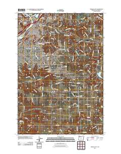
2011 Map of Oregon City
USGS Topo · Published 2011About this map
Willamette Falls and the surrounding riverfront communities define this landscape where the Clackamas River meets the Willamette River. At the heart of the map, Oregon City and West Linn sit atop the bluffs and riverbanks, connected by the historical industry of the falls. The documentation of social history is particularly dense here, featuring an expansive cluster of burial grounds north of Maple Lane, including the Mountain View Cemetery, Masonic Cemetery, and the Independent Order of Odd Fellows Cemetery. Moving south and east, the terrain transitions into a patchwork of rural settlements and small aviation fields like Aeroacres Airport and Fairways Airfield. Significant water features such as Abernethy Creek and Newell Creek carve through the residential and agricultural blocks, leading toward the outlier communities of Beaver Creek and Carus.
Find a feature on this map
136 named features on this map. Tap any name to fly to it.
Don’t see what you’re looking for? This feature index may not catch every label — zoom into the map to look around manually.
Map Details
Editions of this 2011 Oregon City Map
This is the sole edition of this map. No revisions or reprints were ever made.
Other maps of this area

1911 · Boring
USGS Topo · 1:48,000

1914 · Boring
USGS Topo · 1:62,500

1914 · Oregon City
USGS Topo · 1:62,500

1916 · Estacada
USGS Topo · 1:125,000

1939 · Molalla
USGS Topo · 1:62,500

1939 · Oregon City
USGS Topo · 1:62,500

1940 · Molalla
USGS Topo · 1:62,500

1940 · Boring
USGS Topo · 1:62,500

1941 · Oregon City
USGS Topo · 1:62,500

1948 · Vancouver
USGS Topo · 1:250,000