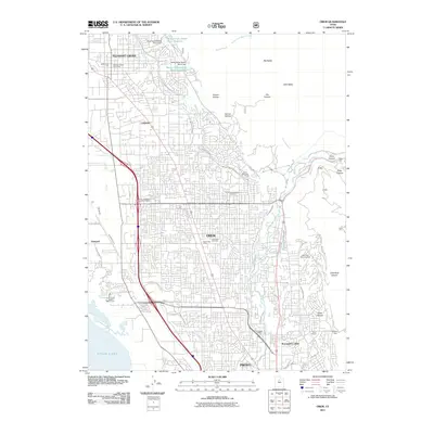
2011 Map of Orem
USGS Topo · Published 2011About this map
Orem and its neighboring communities are defined by a complex network of irrigation and water management systems at the base of the Wasatch Range. The dense residential and commercial expansion of the early 21st century is supported by extensive infrastructure, including the Murdock Canal, Alta Aqueduct, and the West Union Canal, which channel water across the benchlands. The landscape transitions sharply from the shoreline of Utah Lake in the west, through the industrial and suburban corridors of Vineyard and Lindon, to the steep canyons of Big Baldy and Little Baldy.
Find a feature on this map
52 named features on this map. Tap any name to fly to it.
Don’t see what you’re looking for? This feature index may not catch every label — zoom into the map to look around manually.
Map Details
Editions of this 2011 Orem Map
This is the sole edition of this map. No revisions or reprints were ever made.
Other maps of this area

1885 · Salt Lake
USGS Topo · 1:250,000

1948 · Timpanogos Cave
USGS Topo · 1:24,000

1948 · Orem
USGS Topo · 1:24,000

1948 · Orem
USGS Topo · 1:62,500

1948 · Springville
USGS Topo · 1:24,000

1948 · Aspen Grove
USGS Topo · 1:24,000

1948 · Provo
USGS Topo · 1:24,000

1948 · Bridal Veil Falls
USGS Topo · 1:24,000

1949 · Provo
USGS Topo · 1:62,500

1950 · Orem
USGS Topo · 1:24,000