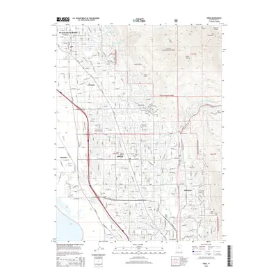
2014 Map of Orem
USGS Topo · Published 2014About this map
The eastern shore of Utah Lake meets the foothills of the Wasatch Range in this survey of the burgeoning urban corridor between Pleasant Grove and Provo. A sophisticated network of irrigation and water management is evident through the winding paths of the Murdock Canal, Union Canal, and Lake Bottom Canal, which historically supported the agriculture of the Provo Bench. By this time, the landscape shows significant institutional and suburban growth, centered around major campuses like Utah Valley University and Brigham Young University.
Find a feature on this map
55 named features on this map. Tap any name to fly to it.
Don’t see what you’re looking for? This feature index may not catch every label — zoom into the map to look around manually.
Map Details
Editions of this 2014 Orem Map
This is the sole edition of this map. No revisions or reprints were ever made.
Other maps of this area

1885 · Salt Lake
USGS Topo · 1:250,000

1948 · Timpanogos Cave
USGS Topo · 1:24,000

1948 · Orem
USGS Topo · 1:24,000

1948 · Orem
USGS Topo · 1:62,500

1948 · Springville
USGS Topo · 1:24,000

1948 · Aspen Grove
USGS Topo · 1:24,000

1948 · Provo
USGS Topo · 1:24,000

1948 · Bridal Veil Falls
USGS Topo · 1:24,000

1949 · Provo
USGS Topo · 1:62,500

1950 · Orem
USGS Topo · 1:24,000