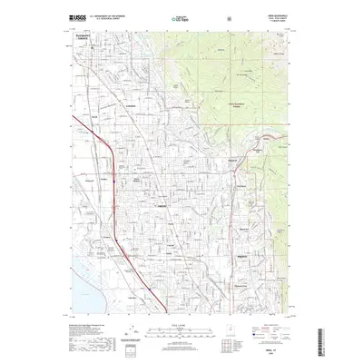
2020 Map of Orem
USGS Topo · Published 2020About this map
Utah Lake shores and the rising slopes of the Wasatch Range define this high-growth corridor between Pleasant Grove and Provo. This 2020 map illustrates a densely settled landscape where historic agricultural roots meet modern educational and industrial hubs. Significant academic institutions, including Brigham Young University and Utah Valley University, anchor the southern end of the sheet, while the northern reaches transition into the Uinta National Forest. The intricate water management system is visible through the Salt Lake City Aqueduct, Murdock Canal, and Alta Aqueduct, which skirt the Provo Bench. Longstanding community sites like the Orem Cem and Timpanogos Memorial Gardens are situated among residential developments that have largely replaced the former orchards of Orem. Historical markers such as Geneva and Olmstead reflect the area's transition from early industrial and utility sites to established suburbs.
Find a feature on this map
64 named features on this map. Tap any name to fly to it.
Don’t see what you’re looking for? This feature index may not catch every label — zoom into the map to look around manually.
Map Details
Editions of this 2020 Orem Map
This is the sole edition of this map. No revisions or reprints were ever made.
Other maps of this area

1885 · Salt Lake
USGS Topo · 1:250,000

1948 · Timpanogos Cave
USGS Topo · 1:24,000

1948 · Orem
USGS Topo · 1:24,000

1948 · Orem
USGS Topo · 1:62,500

1948 · Springville
USGS Topo · 1:24,000

1948 · Aspen Grove
USGS Topo · 1:24,000

1948 · Provo
USGS Topo · 1:24,000

1948 · Bridal Veil Falls
USGS Topo · 1:24,000

1949 · Provo
USGS Topo · 1:62,500

1950 · Orem
USGS Topo · 1:24,000