1983 Map of Oreor
USGS Topo · Published 1984About this map
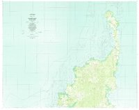
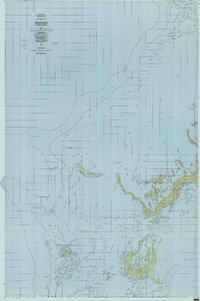
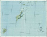
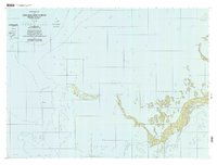
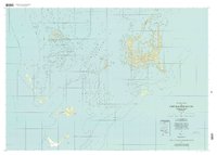
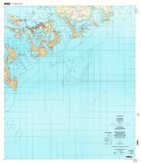
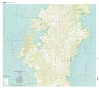
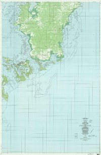
The Babeldaob coastline and the urban concentration of Oreor define this early 1980s survey of the central Palau archipelago. The map documents the vital infrastructure of the era, most notably the Palau Airport and the network of roads connecting the municipality of Airai to the dense residential clusters of Ngerkesoaol, Ngerbeched, and Ngermid. The transition from the rugged interiors of Ngetpang and Ngchesar to the complex marine environment is clearly articulated, showing the intricate fringing reefs of Ngederrak and the sheltered waters of Komebail Lagoon.
Find a feature on this map
57 named features on this map. Tap any name to fly to it.
Don’t see what you’re looking for? This feature index may not catch every label — zoom into the map to look around manually.
Map Details
Editions of this 1983 Oreor Map
This is the sole edition of this map. No revisions or reprints were ever made.