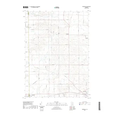
2018 Map of Orfordville
USGS Topo · Published 2018About this map
Orfordville and the eastern edge of Brodhead anchor this landscape along the border of Green and Rock counties. The terrain is defined by a dense network of waterways, including Swan Creek, Norwegian Creek, and Bass Creek, which carve through the agricultural lands of Southern Wisconsin. Historically significant sites such as Magnolia and the smaller settlement of Cainville are connected by a grid of rural roads like County Highway A and Townsend Road.
Find a feature on this map
64 named features on this map. Tap any name to fly to it.
Don’t see what you’re looking for? This feature index may not catch every label — zoom into the map to look around manually.
Map Details
Editions of this 2018 Orfordville Map
This is the sole edition of this map. No revisions or reprints were ever made.
Other maps of this area

1889 · Evansville
USGS Topo · 1:62,500

1890 · Stoughton
USGS Topo · 1:62,500

1891 · Janesville
USGS Topo · 1:62,500

1893 · Janesville
USGS Topo · 1:62,500

1893 · Brodhead
USGS Topo · 1:62,500

1894 · Evansville
USGS Topo · 1:62,500

1906 · Evansville
USGS Topo · 1:62,500

1954 · Rockford
USGS Topo · 1:250,000

1955 · Rockford
USGS Topo · 1:250,000

1958 · Rockford
USGS Topo · 1:250,000