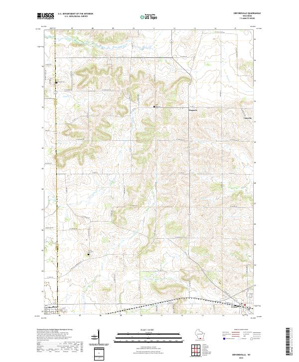
2022 Map of Orfordville
USGS Topo · Published 2022About this map
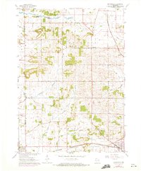
Orfordville and the eastern edge of Brodhead anchor this landscape along the Green and Rock County line. The terrain is defined by a dense network of tributaries including Allen Creek, Norwegian Creek, and Taylor Creek, which drain the glacial topography of southern Wisconsin. These waterways historically dictated the placement of early settlements and rural cemeteries, such as Scotch Hill Cemetery and West Magnolia Cemetery, which remain key landmarks for local genealogists. Smaller hamlets like Magnolia and Cainville are situated at rural crossroads, connected by a grid of family-named routes like Dunphy Road and Gempler Road. This modern survey illustrates the persistent agricultural character of the region, where legacy farmsteads and rural parish burial grounds continue to define the community structure amidst the meandering paths of Dunphy Branch and Swan Creek.
Find a feature on this map
65 named features on this map. Tap any name to fly to it.
Don’t see what you’re looking for? This feature index may not catch every label — zoom into the map to look around manually.
Map Details
Editions of this 2022 Orfordville Map
This is the sole edition of this map. No revisions or reprints were ever made.