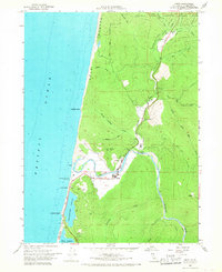
1966 Map of Orick
USGS Topo · Published 1968About this map
Redwood Creek meanders toward the Pacific Ocean in this mid-1960s study of the Humboldt County coastline. The settlement of Orick serves as the focal point, situated where the river valley meets the sea, supported by local facilities like the Substation and a nearby Radio Tower. North of the town center, the County Fish Hatchery and Berry Glenn sit along the winding route of highway 101, which provides the primary access through these wooded corridors.
Find a feature on this map
41 named features on this map. Tap any name to fly to it.
Don’t see what you’re looking for? This feature index may not catch every label — zoom into the map to look around manually.
Map Details
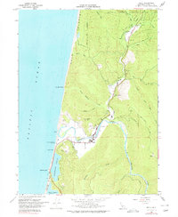
Editions of this 1966 Orick Map
2 editions found
Other maps of this area

1925 · Hoopa
USGS Topo · 1:125,000

1945 · Orick
USGS Topo · 1:62,500

1945 · Trinidad
USGS Topo · 1:62,500

1945 · Coyote Peak
USGS Topo · 1:62,500

1945 · Tectah Creek
USGS Topo · 1:62,500

1948 · Weed
USGS Topo · 1:250,000

1949 · Eureka
USGS Topo · 1:250,000

1950 · Weed
USGS Topo · 1:250,000
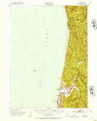
1952 · Orick
USGS Topo · 1:62,500

1952 · Coyote Peak
USGS Topo · 1:62,500