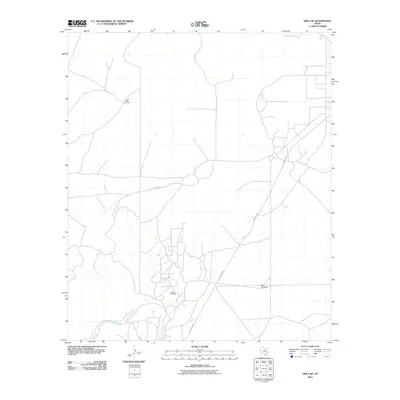
2010 Map of Orla NE
USGS Topo · Published 2010About this map
The Pecos River winds through this arid Trans-Pecos landscape, marking the southern boundary of a region dominated by ranching and energy extraction. In the northern reaches, Boyd Ranch stands as a primary landmark in a territory characterized by open rangeland and essential water infrastructure like North Tank. The 2010 landscape reflects the industrial footprint of the Permian Basin, most notably at the Tunstall Oil Field, where a dense network of local roads and pads services the region's petroleum interests. Navigation through this portion of Reeves County is anchored by Ranch Rd 652 and Pecos St, while isolated features like Gyp Windmill highlight the ongoing importance of groundwater management for livestock in the Texas desert.
Find a feature on this map
7 named features on this map. Tap any name to fly to it.
Don’t see what you’re looking for? This feature index may not catch every label — zoom into the map to look around manually.
Map Details
Editions of this 2010 Orla NE Map
This is the sole edition of this map. No revisions or reprints were ever made.
Other maps of this area

1925 · Orla 2-b
USGS Topo · 1:48,000

1931 · Orla
USGS Topo · 1:62,500

1954 · Hobbs
USGS Topo · 1:250,000

1954 · Pecos
USGS Topo · 1:250,000

1957 · Pecos
USGS Topo · 1:250,000

1958 · Hobbs
USGS Topo · 1:250,000

1961 · Orla SE
USGS Topo · 1:24,000

1961 · Lindley Ranch
USGS Topo · 1:24,000

1968 · Orla
USGS Topo · 1:24,000

1968 · Orla NE
USGS Topo · 1:24,000