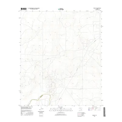
2016 Map of Orla NE
USGS Topo · Published 2016About this map
The Pecos River carves through the southwestern corner of this West Texas landscape, marking the natural divide along the Loving Co Reeves Co boundary. This arid terrain is defined by the network of corridors that facilitate movement across the basin, most notably Ranch Rd 652, which cuts diagonally across the quadrangle. Local routes such as Pecos St provide access to the interior, where the topography rises into a series of ridges and draws characteristic of the Delaware Basin. While primarily an open landscape of topographic detail and ephemeral water sources like N Tank, the map illustrates the infrastructure required to navigate the remote borderlands between Reeves and Loving counties in the mid-2010s.
Find a feature on this map
5 named features on this map. Tap any name to fly to it.
Don’t see what you’re looking for? This feature index may not catch every label — zoom into the map to look around manually.
Map Details
Editions of this 2016 Orla NE Map
This is the sole edition of this map. No revisions or reprints were ever made.
Other maps of this area
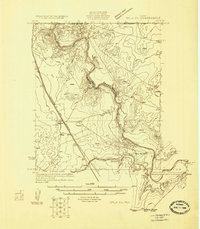
1925 · Orla 2-b
USGS Topo · 1:48,000
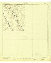
1931 · Orla
USGS Topo · 1:62,500

1954 · Hobbs
USGS Topo · 1:250,000

1954 · Pecos
USGS Topo · 1:250,000

1957 · Pecos
USGS Topo · 1:250,000

1958 · Hobbs
USGS Topo · 1:250,000
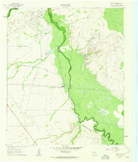
1961 · Orla SE
USGS Topo · 1:24,000
1961 · Lindley Ranch
USGS Topo · 1:24,000
1968 · Orla
USGS Topo · 1:24,000
1968 · Orla NE
USGS Topo · 1:24,000