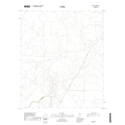
2019 Map of Orla NE
USGS Topo · Published 2019About this map
The Pecos River cuts through the southwestern corner of this West Texas landscape, serving as a defining natural boundary where Loving Co meets Reeves Co. This 2019 survey illustrates a sparse ranching and energy-producing environment, where infrastructure is dominated by industrial corridors rather than traditional towns. The path of Ranch Rd 652 and Pecos St provide the primary access through the arid terrain, linking the scattered resources of the Permian Basin. Apart from the river, water features are limited to man-made catchments like North Tank in the northeast, reflecting the critical role of water management in this high-desert region. The intricate contour lines reveal a complex network of draws and ridges that shape the movement of vehicles and livestock across the county line.
Find a feature on this map
5 named features on this map. Tap any name to fly to it.
Don’t see what you’re looking for? This feature index may not catch every label — zoom into the map to look around manually.
Map Details
Editions of this 2019 Orla NE Map
This is the sole edition of this map. No revisions or reprints were ever made.
Other maps of this area
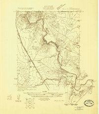
1925 · Orla 2-b
USGS Topo · 1:48,000
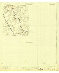
1931 · Orla
USGS Topo · 1:62,500

1954 · Hobbs
USGS Topo · 1:250,000

1954 · Pecos
USGS Topo · 1:250,000

1957 · Pecos
USGS Topo · 1:250,000

1958 · Hobbs
USGS Topo · 1:250,000
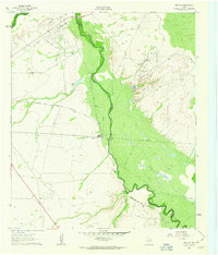
1961 · Orla SE
USGS Topo · 1:24,000
1961 · Lindley Ranch
USGS Topo · 1:24,000
1968 · Orla
USGS Topo · 1:24,000
1968 · Orla NE
USGS Topo · 1:24,000