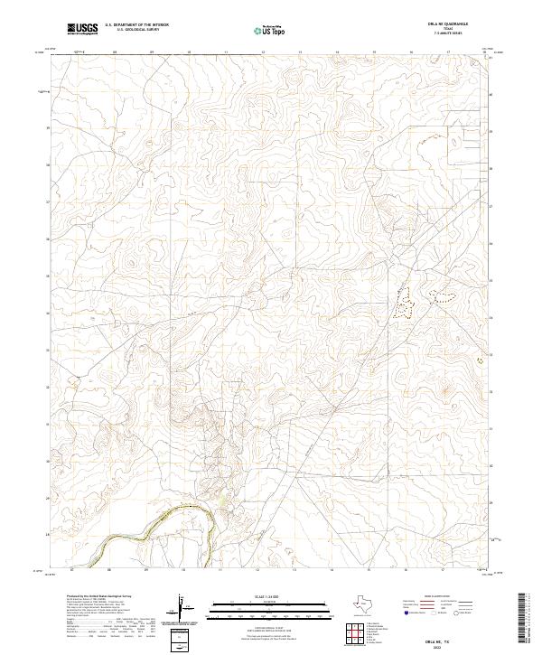
2022 Map of Orla NE
USGS Topo · Published 2022About this map
The Pecos River snakes across the southwestern corner of this West Texas landscape, defining the physical boundary between Loving Co and Reeves Co. This arid stretch of the Permian Basin is characterized by its stark utility, where the infrastructure of the energy industry and cattle ranching meet the waterway's winding course. Major transit is facilitated by Ranch Rd 652, which cuts diagonally through the southern half of the quadrangle. Aside from the arterial presence of Pecos St, the map displays a sparse network of service roads and tracks that navigate the subtle elevation changes of the high desert, providing a detailed look at the modern land use patterns in this corner of the state.
Find a feature on this map
4 named features on this map. Tap any name to fly to it.
Don’t see what you’re looking for? This feature index may not catch every label — zoom into the map to look around manually.
Map Details
Editions of this 2022 Orla NE Map
This is the sole edition of this map. No revisions or reprints were ever made.
Other maps of this area

1925 · Orla 2-b
USGS Topo · 1:48,000

1931 · Orla
USGS Topo · 1:62,500

1954 · Hobbs
USGS Topo · 1:250,000

1954 · Pecos
USGS Topo · 1:250,000

1957 · Pecos
USGS Topo · 1:250,000

1958 · Hobbs
USGS Topo · 1:250,000

1961 · Orla SE
USGS Topo · 1:24,000

1961 · Lindley Ranch
USGS Topo · 1:24,000

1968 · Orla
USGS Topo · 1:24,000

1968 · Orla NE
USGS Topo · 1:24,000